
Road closures, construction projects, and public transit disruptions can change how visitors reach San Ysidro, California. A route that normally takes a few minutes may require a detour, a different bus connection, or additional time to reach a business, shopping area, or border crossing. For people travelling from elsewhere in San Diego County or arriving from Tijuana, checking reliable information before leaving can help avoid unnecessary delays.
San Ysidro has an important position along the United States-Mexico border, with road connections, public transportation, commercial areas, and pedestrian routes serving different types of travellers. Because these routes do not always share the same restrictions, a road closure affecting vehicles may not affect pedestrians in the same way. Similarly, a bus diversion does not necessarily mean that nearby roads are closed to private vehicles.
The most practical approach is to identify the exact location of the disruption, consult the responsible transport authority, and confirm that any alternative route is suitable for your journey. Checking again shortly before departure can also help you respond to changes in construction schedules or transit services.
Sources
Start with official sources rather than relying exclusively on social media posts, older travel articles, or navigation applications. These sources can be useful for general awareness, but they may not explain the reason for a closure, its effective dates, or the restrictions that apply to different road users.
For local streets and municipal projects, consult the City of San Diego. Its official website provides access to city services, public notices, transportation information, and relevant departments. The specific department responsible for a road or project may vary according to its location and purpose.
For regional road conditions, highway incidents, and planned construction, check Caltrans, the California Department of Transportation. Caltrans provides official information about state highways, road projects, and transportation conditions. Its QuickMap service can help travellers review available traffic information and identify reported incidents or closures.
For buses, the San Diego Metropolitan Transit System (MTS) is another important source. Its official website provides transit information, service alerts, route details, and other passenger resources.
These sources serve different purposes. A city notice may explain a local street closure, Caltrans may report a highway restriction, and MTS may announce a bus detour. Checking the appropriate authority makes it easier to distinguish confirmed arrangements from general traffic observations.
Closures
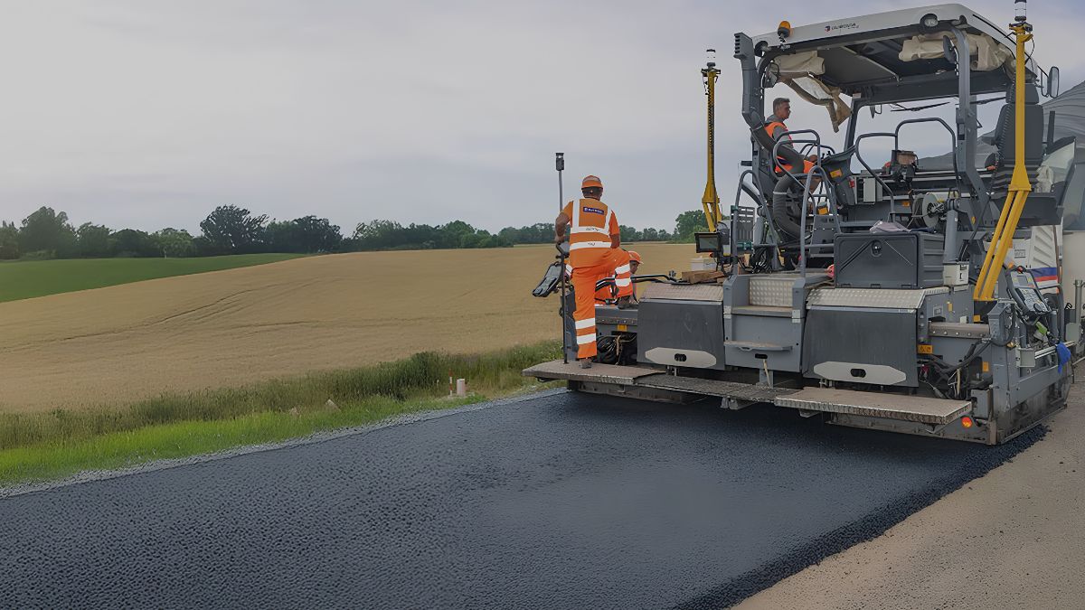
Before changing your route, establish exactly where the closure begins and ends. A notice may refer to a single intersection, a section of a road, a highway ramp, or a wider construction area. These restrictions can have different effects on your journey.
Read the notice for its location, effective dates, expected duration, and any conditions that apply. Some closures operate only overnight or during specific construction phases, while others may remain in place until work is completed. Temporary traffic controls can also change as crews move between sections of a project.
Pay attention to whether the restriction affects all road users or only particular vehicles. A road may remain accessible to pedestrians while through traffic is diverted. In other cases, construction barriers may temporarily restrict access to sidewalks, driveways, or building entrances.
If you are visiting a particular business, medical office, hotel, or residential address, contact the destination directly when access information is unclear. The business may know which entrance is currently available, although official road notices should remain the primary source for public-road restrictions.
Do not assume that a closure shown on an older notice is still active. Check the publication date and look for newer updates from the responsible authority.
Detours
An official detour is a route designated or recommended by the relevant authority to guide traffic around a restriction. It may use nearby streets, signed diversions, or alternative highway connections.
When reviewing a detour, confirm that it leads toward your actual destination rather than simply around the closed section of road. A diversion may reconnect with the original route farther away, requiring you to make additional turns or approach your destination from another direction.
Also consider the type of vehicle you are using. A route suitable for an ordinary passenger car may not be appropriate for a large delivery vehicle, and certain streets may have restrictions involving vehicle size, turning movements, or permitted access.
Follow temporary road signs and directions provided by authorised traffic personnel. If an official diversion differs from the route suggested by a navigation application, do not attempt to bypass barriers or enter a restricted road simply to save time.
For visitors unfamiliar with San Ysidro, it is helpful to review the alternative route before departure. Knowing the main turns and identifying a suitable stopping place can reduce confusion when approaching a busy intersection or construction zone.
Transit
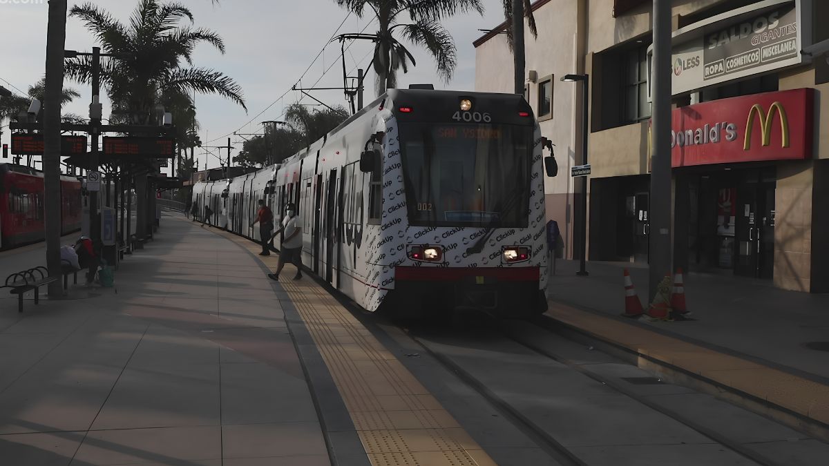
Visitors travelling by bus should check for service alerts before leaving. Roadworks can lead to temporary stop closures, changes in bus routes, adjusted arrival times, or the relocation of boarding points.
The MTS website provides official service information for the San Diego region. Check the relevant route number, direction of travel, affected stops, and dates associated with the notice. If a stop has been moved, confirm the temporary boarding location rather than assuming that the usual stop remains in service.
Travellers can review current services and alerts through the MTS website. Where available, official trip-planning tools can help identify connections and expected travel times.
If your journey includes more than one bus or another form of public transportation, allow additional time for transfers. A disruption affecting one route may also influence the timing of your connection, particularly when services operate less frequently at certain times of day.
Visitors should also distinguish between a temporary delay and a formal service change. A delayed bus may still serve its regular stops, while a diversion may mean that some stops are skipped or relocated.
If you need step-free access or have mobility requirements, check whether the temporary route and boarding location are accessible. Contact the transit operator if the published information does not clearly address your needs.
Border
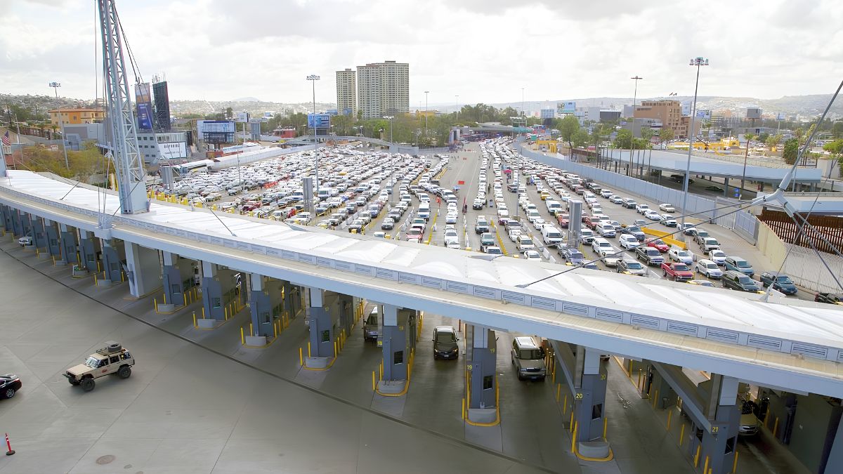
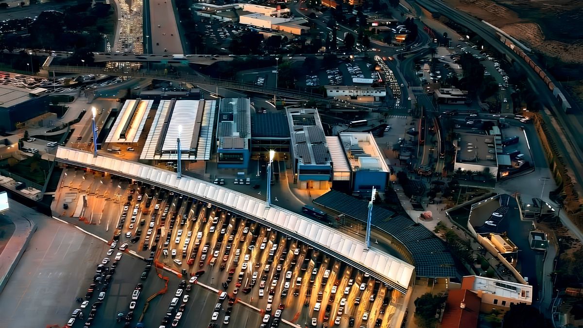
San Ysidro’s location beside the international border makes it especially important to distinguish local traffic conditions from border inspection procedures.
A road closure near the port of entry may affect the approach route without changing the inspection facilities themselves. Conversely, congestion associated with border traffic can affect nearby streets even when no formal road closure is in effect.
Travellers crossing from Mexico into the United States can consult the official U.S. Customs and Border Protection Border Wait Times service for available estimated waiting times at San Ysidro.
Select the correct port and crossing category for your journey. Vehicle, pedestrian, and eligible expedited-lane estimates are not interchangeable. A reported inspection wait also does not necessarily include the time needed to reach the border through local traffic.
If you plan to cross the border and then continue to another destination, check both parts of the journey. Review the road conditions on the approach to the port, the available border wait-time information, and the route from the US inspection area to your final destination.
Wait-time estimates can change, so recheck shortly before departure when timing is important. Avoid treating an estimated wait as a guarantee or assuming that a shorter queue will remain unchanged throughout your journey.
Navigation
Navigation applications can help visitors understand the overall route, estimate driving time, and identify congestion. However, they should complement official notices rather than replace them.
A mapping application may take time to reflect a newly announced closure or a temporary change in access. It may also recommend a route that is technically available but unsuitable for your vehicle or intended destination.
Before setting off, compare the suggested route with the official closure notice. Check whether the route uses the affected road, crosses a restricted intersection, or relies on an entrance that may be inaccessible.
For important appointments, save the destination address and review the final approach on the map. If a business is located in a shopping centre or a large commercial area, confirm which entrance remains open.
Once you are driving, avoid making route changes while distracted. Pull over in a safe, legal location before reviewing new information, or ask a passenger to check the route.
A navigation application is most useful when combined with current road information, a clear destination, and enough time to respond to unexpected changes.
Timing
The timing of your information check can influence how useful it is. A notice reviewed several days before travel may establish that construction is planned, but it may not reflect the latest traffic controls on the day of your visit.
A practical routine includes three checks.
- During planning: Identify known closures, construction schedules, transit changes, and alternative routes.
- Before departure: Review the latest official notices and compare them with your intended journey.
- During a delay: If you need to stop or change plans, check for updated information before selecting an alternative.
The appropriate frequency depends on the journey. Someone travelling a short distance to a local appointment may need only a brief review before leaving. A visitor travelling across the county, connecting to public transportation, or crossing the international border may benefit from checking several relevant sources.
Weather, traffic incidents, construction progress, and operational requirements can change travel conditions. Even when an authority publishes an expected completion date, the actual reopening may depend on circumstances at the site.
Avoid relying on an old screenshot or saved route when current information is available. A fresh check is particularly useful when the consequences of arriving late are significant.
Accessibility
Temporary diversions can create additional difficulties for people who use wheelchairs, mobility aids, or pushchairs, as well as visitors who have limited mobility or visual impairments.
A diversion that adds distance may also involve uneven surfaces, steep slopes, missing curb ramps, or crossings that are harder to navigate. Construction barriers can make the situation more complicated if accessible routes are temporarily relocated.
Before travelling, check official notices for information about sidewalk closures, accessible pedestrian paths, and temporary transit stops. If the details are incomplete, contact the relevant authority or transport operator for clarification.
Visitors heading to a particular building should also ask whether the usual entrance remains accessible and whether another entrance is available.
Do not assume that a pedestrian detour is suitable for every person simply because it is open to foot traffic. When accessibility is essential, confirm the route before setting out and allow time to use the available alternative.
Preparation
A little preparation can make an unfamiliar route easier to manage. Save the destination address, identify the relevant official information pages, and note any important travel deadlines.
If you are visiting a business, consider contacting it to confirm opening hours and entrance arrangements. If you are attending an appointment, ask whether late arrival affects your booking and whether there is an alternative contact method.
For trips involving public transportation, record the route number and the nearest alternative stop where appropriate. For trips involving a border crossing, check that you have the required travel documents and understand the relevant entry requirements.
It can also help to prepare a backup plan. This might involve leaving earlier, using a different transit connection, or rescheduling a non-essential visit if the disruption makes the journey impractical.
The objective is not to anticipate every possible problem. It is to ensure that you have enough accurate information to make a reasonable decision when circumstances change.
Checklist
Use this checklist before travelling to San Ysidro during a road closure or transit disruption.
| Item | What to confirm |
|---|---|
| Official notice | Check the responsible authority’s latest update |
| Location | Confirm the exact road, intersection, or affected stop |
| Dates | Check when the restriction applies |
| Detour | Review the official alternative route |
| Transit | Confirm route changes and boarding locations |
| Destination | Check opening hours and entrance access |
| Border | Review current wait estimates if crossing internationally |
| Accessibility | Confirm that the alternative route meets your needs |
| Timing | Allow additional time for delays and transfers |
| Final check | Review updates shortly before departure |
Visiting San Ysidro during road closures or transit disruptions does not necessarily require cancelling your plans, but it does require checking the right information. Official city notices, Caltrans traffic updates, MTS service alerts, and CBP border wait-time estimates each address different parts of the journey.
By confirming the affected location, reviewing the appropriate detour, checking transit arrangements, and allowing extra time, visitors can make more informed travel decisions. The key is to use current information, follow official instructions, and reassess the plan when conditions change.
FAQs
Where can I find official San Ysidro road closure updates?
Check the City of San Diego and Caltrans websites for relevant road notices.
How can I check San Ysidro bus disruptions?
Review official MTS service alerts and route information before departure.
Should I trust navigation apps during road closures?
Use them alongside official notices and follow posted detour signs.
Where can I check San Ysidro border wait times?
Use the official U.S. Customs and Border Protection Border Wait Times service.
When should I recheck travel information?
Check during planning, shortly before departure, and when delays affect your route.