A neighborhood’s history is often written into its streets, buildings, businesses, and everyday routines. In San Ysidro, a community in southern San Diego near the U.S.-Mexico border, changes in housing, local commerce, transportation, and community life offer valuable clues about how the area has developed over time.
A home that once stood near open land may now be surrounded by newer buildings. A business that served local families for decades may have been replaced by a different kind of shop. Roads, transit connections, and border-related travel patterns may also have influenced how residents moved through the community and interacted with nearby areas.
Tracing these changes requires more than looking at old photographs or remembering how a street used to appear. Historical maps, property records, newspapers, government documents, business directories, and personal accounts can help explain what changed, when it happened, and why it mattered.
For residents, students, and local history enthusiasts, researching San Ysidro through the decades offers a way to connect present-day surroundings with the people and decisions that shaped them.
Beginnings
Before researching individual buildings or businesses, establish a broad timeline of San Ysidro’s development. Knowing the wider history of southern San Diego and the border region can help explain why the community changed at particular times.
San Ysidro’s location near the international border has made cross-border movement, trade, family connections, and transportation important parts of its regional context. Housing, retail activity, and public infrastructure have developed within this broader setting.
The San Diego History Center is a useful starting point for exploring the region’s history through historical collections, photographs, documents, and publications. Researchers can use these materials to identify significant periods and discover sources that provide more detail about individual locations.
The City of San Diego’s official website can also help researchers locate municipal information and records connected with planning, public facilities, and neighborhood development.
Begin by dividing your research into broad periods, such as early settlement, mid-century development, late twentieth-century change, and recent decades. These categories are starting points rather than fixed historical boundaries. Adjust them as evidence emerges.
A timeline makes it easier to compare different aspects of community life. For example, you might investigate whether housing expansion occurred alongside changes in roads, retail services, or public transportation. The timeline should help you ask better questions, not encourage assumptions about cause and effect.
Housing
Housing records can reveal how San Ysidro’s residential landscape changed as the community grew. Older houses, apartment buildings, newer developments, and changes in property use can all provide evidence of different periods of construction and neighborhood expansion.
Start with a specific street or group of properties. Record the current addresses and photograph the buildings where appropriate. Then compare those locations with historical maps, aerial photographs, property records, and available planning documents.
Historical aerial images are particularly helpful for identifying changes that may be difficult to notice from street level. They can show where residential blocks appeared, how lots were arranged, and whether open land was later developed.
Property records may provide information about ownership, parcel boundaries, and recorded transactions. Building permits and planning documents can sometimes reveal construction dates, additions, renovations, or changes in permitted use.
The City of San Diego Development Services Department is a useful place to begin looking for information about permits, development processes, and related city services.
However, a property’s recorded sale date is not necessarily the year a home was built. Similarly, a building’s appearance may have changed substantially since its original construction. Cross-check multiple sources before assigning a date to a house or residential development.
Researchers should also consider how housing changes affected everyday life. New construction may have altered the availability of homes, the layout of streets, or the demand for public services. To establish these connections, look for planning reports, census information, contemporary news coverage, and residents’ accounts rather than relying on visual evidence alone.
Commerce
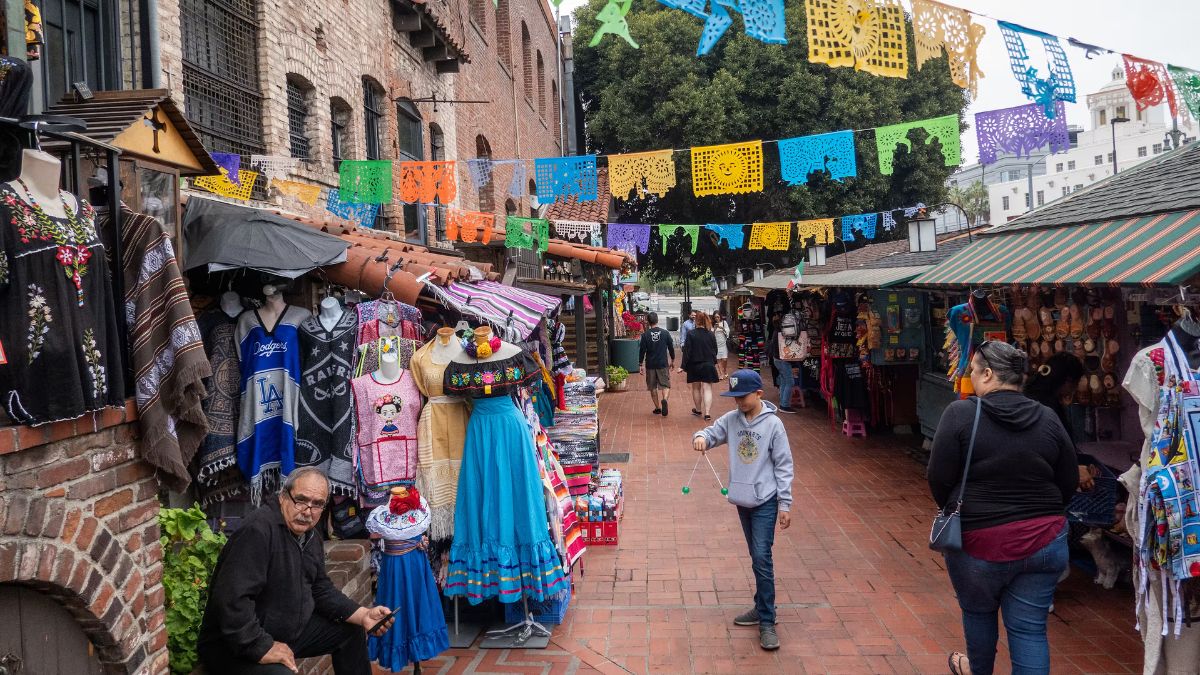
Local businesses provide another way to understand how San Ysidro changed. Shops, restaurants, markets, service providers, and family-owned enterprises can reflect the needs of residents and visitors during different periods.
To investigate commercial history, choose a shopping area or individual business and begin with its name and address. Search historical newspaper advertisements, business directories, property records, and photographs. If the business has changed names or moved, search for the names of previous owners and nearby establishments.
Newspaper archives can be especially useful. Advertisements may reveal what a shop sold, which services it offered, and when it promoted a new location or expanded its operations. Local reporting may document openings, closures, construction projects, or changes to commercial streets.
Business directories can help establish whether a company operated at a particular address during a given period. Property records may identify the owner of the building, although the property owner and business operator may have been different people.
The San Diego Public Library is a useful starting point for finding library research resources and asking about historical newspapers, local-history materials, and other archival collections.
It is also worth distinguishing between changes in individual businesses and wider commercial trends. One shop closing does not necessarily mean a shopping district was declining. A business may have moved, changed ownership, or been replaced by another retailer serving a different customer base.
By examining several businesses across different decades, researchers can build a more balanced picture of how local commerce evolved.
Transportation
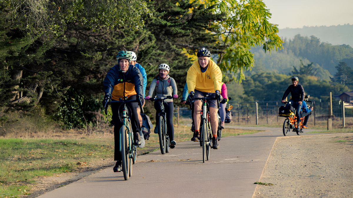
Transportation has a strong influence on how communities develop. Roads, bus services, pedestrian routes, and connections to the wider region affect how residents reach work, schools, shopping areas, and public facilities.
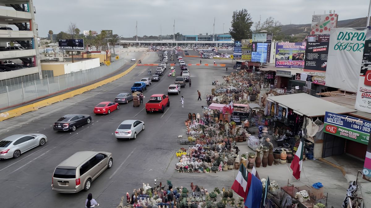
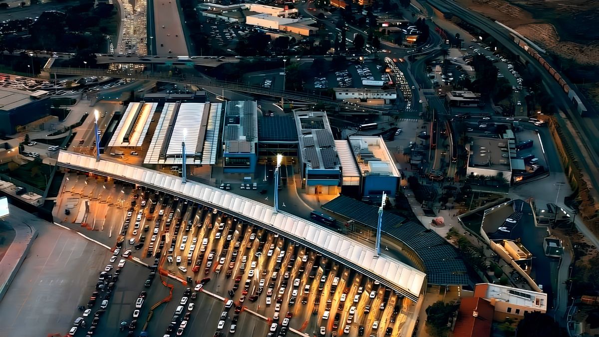
For San Ysidro, research into transportation should also consider the area’s position near the international border. Border crossings, regional travel, and connections with neighboring communities form part of the wider context in which local transportation has developed.
Historical maps can help show when roads appeared, how routes changed, and whether new infrastructure altered access to particular parts of the neighborhood. Aerial photographs may reveal changes in road layouts, parking areas, commercial development, and the relationship between residential streets and major routes.
To understand transit history, look for archived route maps, transportation plans, agency reports, and newspaper coverage. These sources may help establish when a service operated, which areas it connected, and how its route or schedule changed.
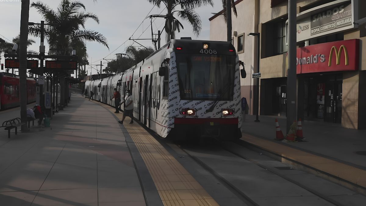
The San Diego Metropolitan Transit System provides current transit information and is a useful starting point for identifying the agency responsible for regional bus and trolley services. Historical questions may require older publications, archived maps, or agency records rather than current route information.
When comparing transportation across decades, distinguish between the construction of infrastructure and its actual use. A new road may have improved access, but determining how it affected residents requires additional evidence, such as travel surveys, planning studies, or personal accounts.
Transportation research becomes especially valuable when combined with housing and commerce records. It can help explain how a neighborhood’s physical connections changed alongside its residential and commercial landscape.
Community
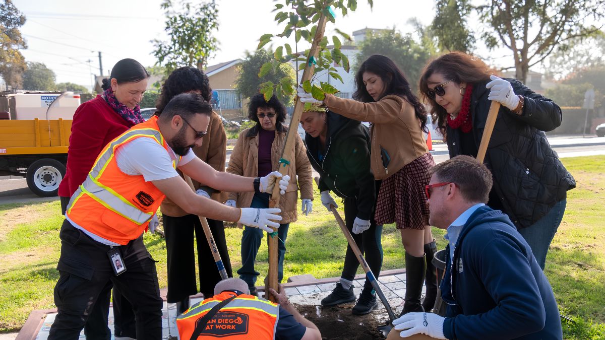
Community life includes more than buildings and infrastructure. Schools, libraries, parks, religious institutions, community organizations, cultural activities, and neighborhood gatherings all help explain how residents experienced change.
Some community institutions may have remained in the same location for many years. Others may have moved, expanded, or changed their role as the population and surrounding area evolved.
Historical newspapers, school records, public meeting minutes, photographs, and organizational archives can help document these changes. Event announcements may reveal recurring celebrations, meetings, and activities, while photographs can show how public spaces were used.
Oral histories add another important perspective. Longtime residents may remember a former store, a neighborhood gathering place, a local event, or changes to the way people traveled through the area. Their experiences can help identify details that are missing from official records.
When conducting interviews, ask open-ended questions. For example:
- What places do you remember visiting most often?
- Which businesses or community facilities have changed?
- How did people usually travel around the neighborhood?
- What events brought residents together?
- Which changes had the greatest effect on everyday routines?
Record interviews only with permission, and explain how the information may be used. Memories are valuable historical sources, but dates and sequences should be checked against documents whenever possible.
Community history should include different experiences rather than relying on a single person’s recollections. Residents of different ages and backgrounds may have experienced the same changes in different ways.
Sources
A strong historical account combines several types of evidence. Each source answers different questions, and comparing them helps reduce the risk of drawing conclusions from incomplete information.
| Historical source | What it can reveal |
|---|---|
| Historical maps | Street layouts, boundaries, and land-use changes |
| Aerial photographs | Residential growth and physical development |
| Property records | Ownership, parcel information, and transactions |
| Building permits | Construction, additions, and renovations |
| Newspapers | Business openings, public events, and local changes |
| Business directories | Commercial activity and business addresses |
| Census records | Population and household characteristics |
| Oral histories | Personal experiences and neighborhood memories |
| Planning documents | Proposed developments and official decisions |
The Library of Congress provides access to digitized historical materials, including photographs, maps, newspapers, and other collections. Regional historical organizations and local libraries may hold additional records that are not available online.
Census records can help place housing and population changes in context, but researchers should pay attention to the geography and definitions used in each census period. A neighborhood’s boundaries may not correspond exactly to a census tract or other statistical area.
Likewise, a planning proposal does not prove that a project was completed. Check for later approvals, construction records, photographs, or other evidence that confirms what actually happened.
Comparison
One of the most effective ways to trace San Ysidro’s development is to compare the same location across different periods.
Choose a street, building, shopping area, or transportation corridor. Find the earliest reliable source available, then locate later maps, photographs, or records that show the same place. Record the date and source for every item.
A comparison table can help organize the results.
| Period | Housing | Commerce | Transportation | Community life |
|---|---|---|---|---|
| Earlier period | Record homes and land use | Identify documented businesses | Map roads and known routes | Locate institutions and gathering places |
| Middle period | Track construction and changes | Compare business listings | Examine route and road changes | Review events and public facilities |
| Recent period | Document current housing patterns | Identify present-day commercial uses | Check current connections | Record active institutions and programs |
This table is a research framework, not a statement that every type of change occurred in a particular decade. Fill it with evidence from sources you can verify.
Historical photographs can make comparisons easier, especially when taken from similar viewpoints. Look for consistent reference points such as intersections, building corners, or recognizable landscape features.
If a location has changed significantly, do not assume that the oldest image depicts the exact same property boundaries or building footprint seen today. Use maps and records to confirm that the images refer to the same place.
Verification
Historical research requires careful attention to dates, names, and context. Online sources sometimes repeat incorrect information, and a photograph may be misidentified or assigned an uncertain date.
For each important claim, record where the information came from. Include the author or organization, title, publication date, page number when relevant, and a stable link or archive reference.
Try to confirm major details through at least two independent sources. For example, a photograph may show that a building existed, a business directory may identify its occupant, and a newspaper report may provide information about when the business opened.
Be cautious when using undated photographs, personal recollections, or modern descriptions of historical events. These materials can provide useful clues, but they may not establish an exact date or explain why a change occurred.
It is equally important to recognize gaps in the historical record. Some businesses and institutions left extensive documentation, while others may appear only briefly in surviving sources. The absence of a record does not prove that a person, business, or activity was unimportant.
When evidence is uncertain, explain that uncertainty. Phrases such as “records indicate,” “a photograph dated approximately,” or “according to a resident’s recollection” help readers understand the strength of the evidence.
Timeline
After gathering sources, create a timeline that connects major changes across housing, commerce, transportation, and community life.
Start with events that have clear documentary support, such as a dated map, a recorded construction project, a published business advertisement, or an official transportation plan. Add oral-history accounts and photographs when their dates and locations can be established.
The most useful timeline does more than list events. It allows you to investigate relationships between them.
For example, if new housing appeared during the same period as a change in nearby commercial activity, look for additional evidence to determine whether the two developments were connected. Population information, planning records, business directories, and transportation documents may help explain the relationship.
Avoid assuming that changes happened simultaneously simply because they appear close together on a modern map. Different areas may have developed at different times, and a broader trend may not apply equally to every street.
A clear timeline also makes it easier to identify unanswered questions. You may discover that you know when a building was constructed but not what it replaced, or that you can trace a business’s location but not its opening date. Those gaps can guide the next stage of research.
Preservation
Researching local history can contribute to the preservation of community knowledge. Old photographs, family documents, business records, and residents’ memories may provide evidence that is difficult to replace once lost.
If you find historical materials in a family collection or community archive, keep the original items in good condition and record any known information about them. Note who created the photograph or document, where it was taken, and the approximate date.
Digital copies can make materials easier to share, but they should not replace careful handling of originals. Before publishing or distributing photographs, confirm ownership and any relevant permissions.
Residents can also contribute by documenting familiar places before they are altered or demolished. A dated photograph, a written description, and an accurate address can become valuable records for future researchers.
Local libraries and historical organizations may be able to advise on preservation, donation, or digitization options. Contact them before transferring original documents or photographs, especially when the items have personal or financial significance.
Tracing San Ysidro through the decades is ultimately an exercise in connecting evidence with lived experience. Housing records reveal how residential areas changed, business directories and newspapers document commercial activity, transportation maps show evolving connections, and community archives preserve stories about everyday life.
By comparing these sources carefully, researchers can build a more detailed and balanced knowing of the neighborhood’s past. The result is not simply a record of what used to stand on a particular street, but a clearer picture of how people, places, and institutions helped shape San Ysidro over time.
FAQs
Where can I find San Ysidro historical records?
Start with the San Diego History Center and local library resources.
How can I research older homes?
Compare property records, permits, maps, and historical photographs.
What sources reveal past businesses?
Search historical newspapers, business directories, and property records.
How can I trace transportation changes?
Compare historic maps, transit records, and transportation plans.
Are residents’ memories useful historical sources?
Yes. Verify dates and details with documents when possible.