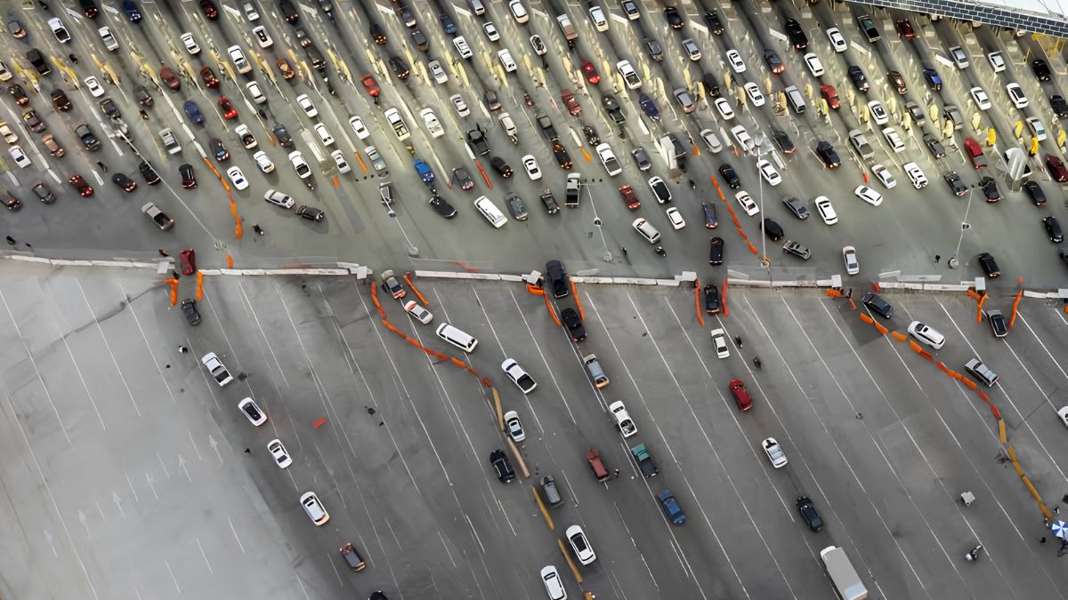
Neighbourhood Guides & History
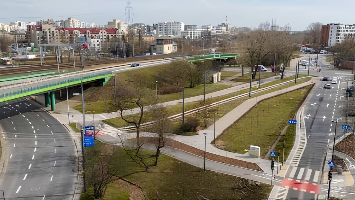
What San Ysidro’s Historical Maps Reveal About Changing Roads, Property Boundaries, and Commercial Districts
Historical maps can provide a detailed record of how San Ysidro, California, has changed over time. Roads that once served a small number of ...
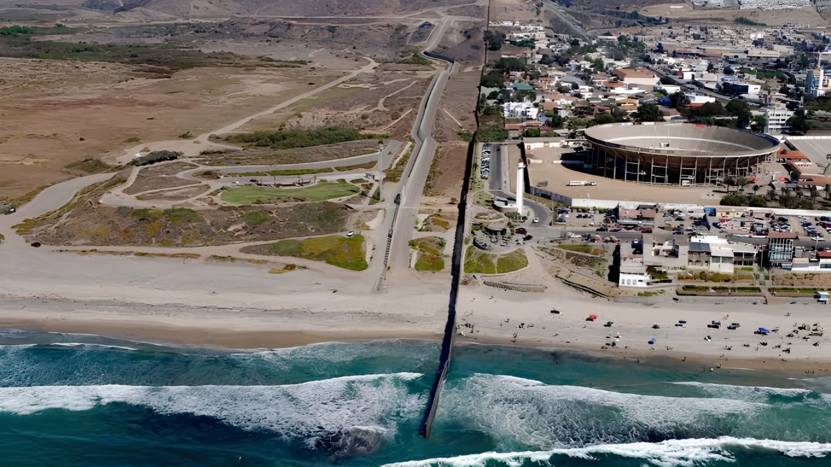
How San Ysidro’s Public Infrastructure Has Evolved – Where to Find Budgets, Project Records, and Historical Reports
Knowing how public infrastructure has developed in San Ysidro, California, requires more than looking at new roads, public facilities, or neighborhood improvements. The history ...

Why Property Values Differ in San Ysidro – How Tax Records and Public Assessments Help Explain Local Real Estate
Property values can vary considerably between homes located just a few streets apart. In San Ysidro, a community in southern San Diego, California, differences ...

San Ysidro’s Landscape – Native Plants, Urban Trees, and the Changing Character of Residential Gardens
San Ysidro, a community in southern San Diego near the United States-Mexico border, has a landscape shaped by its Mediterranean climate, regional ecology, urban ...
How to Research Flood Risk Maps, Drainage Patterns and Environmental Conditions in San Ysidro
Knowing flood risk maps, drainage patterns and environmental conditions can help San Ysidro residents make better-informed decisions about property, home improvements, neighbourhood planning and ...
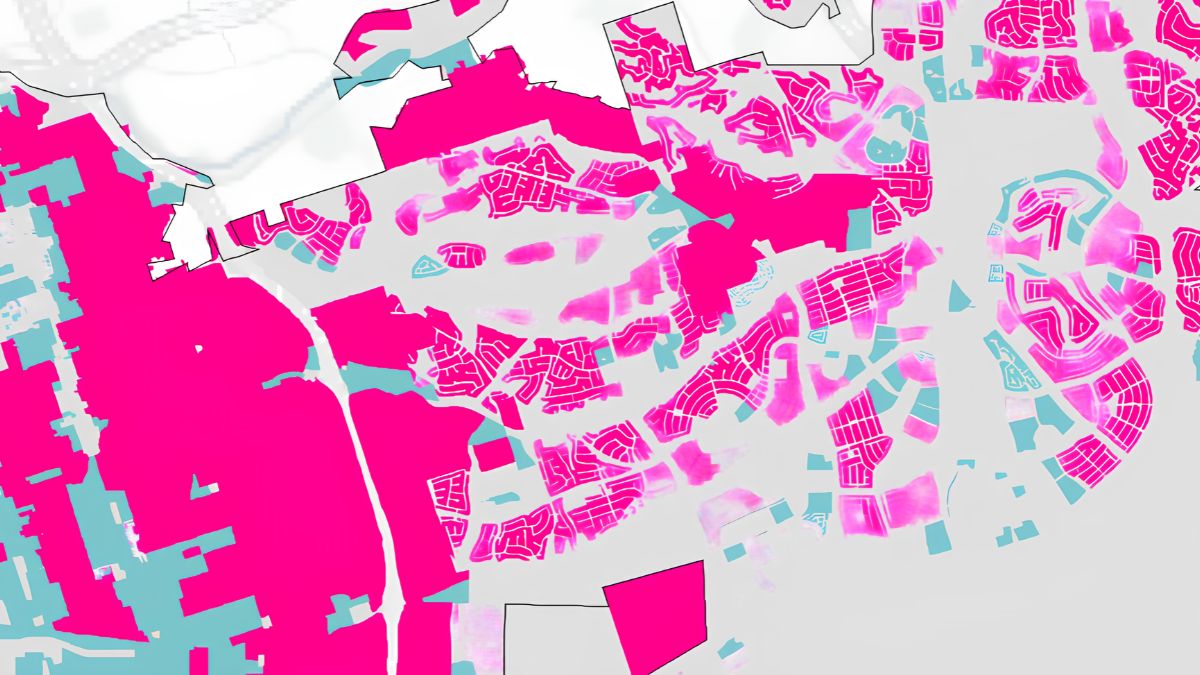
How San Ysidro Residents Can Use Zoning Maps to know Land Use and Future Development
Local zoning maps can help San Ysidro residents understand how land may be used, what types of development might be permitted and which planning ...
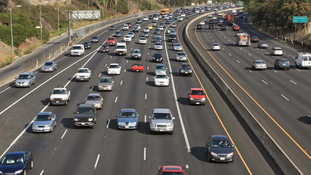
How to Trace the History of Railways, Freeways and Transportation Infrastructure in San Ysidro
San Ysidro’s transportation history offers a useful way to understand how the community developed, how people moved across the U.S.-Mexico border, and why certain ...
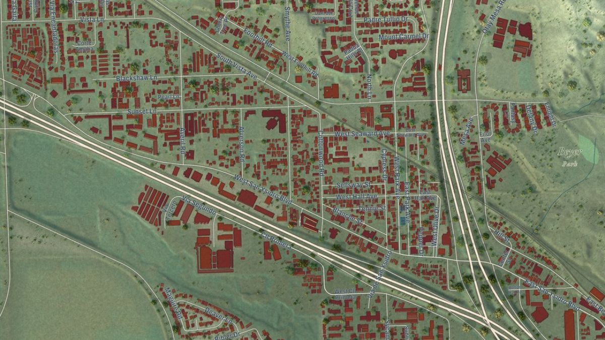
How Historical Maps and Aerial Photographs Reveal the Growth of San Ysidro’s Commercial Corridors
San Ysidro’s commercial corridors tell a story of changing transportation routes, neighborhood development, cross-border movement, and shifting business needs. Streets that now accommodate shops, ...
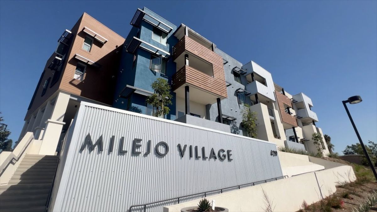
Comparing Housing in San Ysidro – Older Detached Homes, Apartments and New Multifamily Developments
San Ysidro, a community in southern San Diego near the U.S.-Mexico border, offers a range of housing types, from older detached houses on established ...
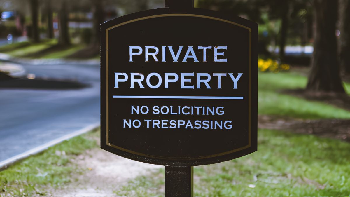
How Public Land Records Reveal Property Ownership History and Land Use in San Ysidro
Public land records can tell a detailed story about a property, from previous owners and recorded sales to boundary descriptions, easements and certain land-use ...