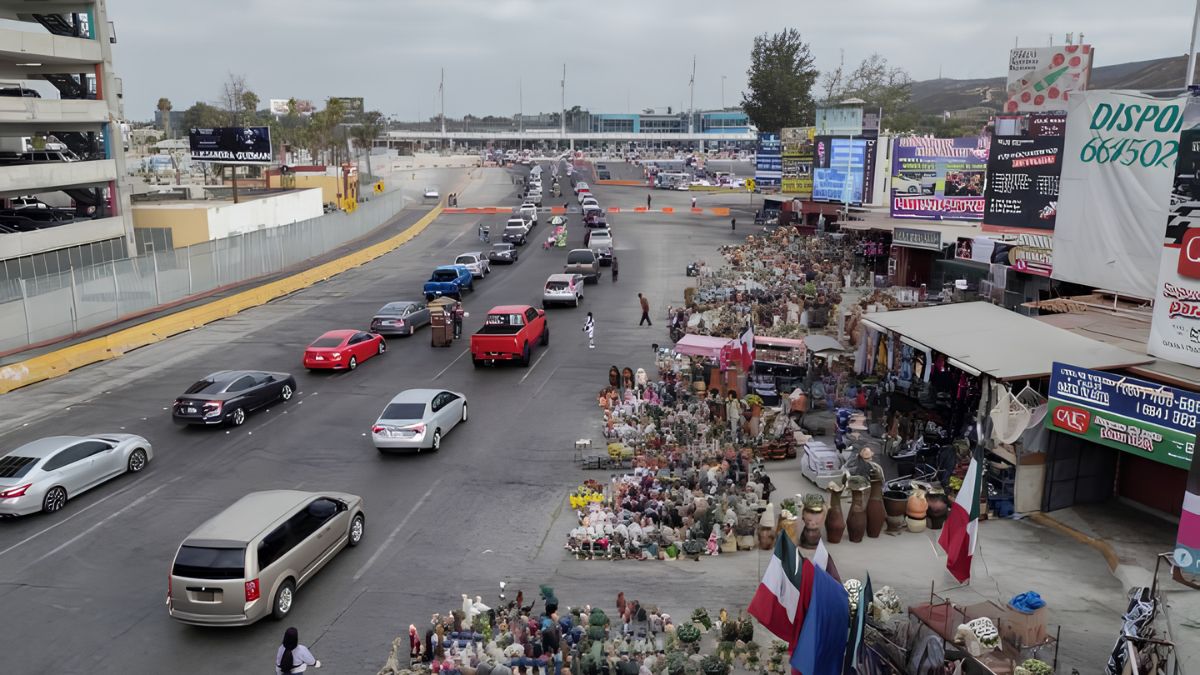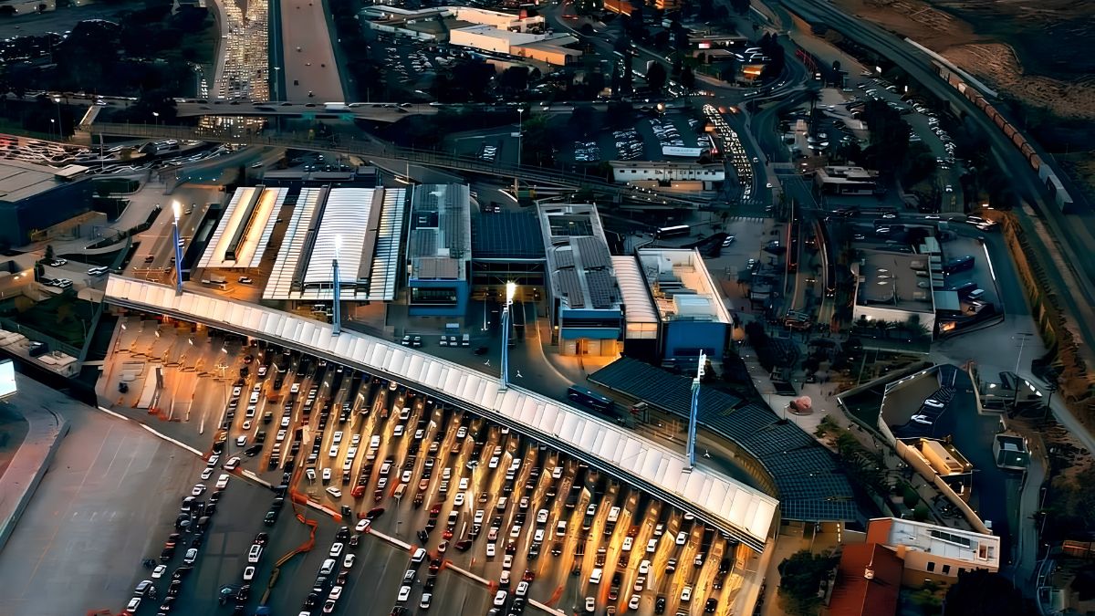
Every neighborhood has a story, and San Ysidro is no exception. Street names, historic buildings, familiar gathering places, and changing commercial areas can reveal how a community developed over time. Some locations reflect earlier settlement patterns, while others tell stories about transportation, local businesses, migration, and the connections between communities on both sides of the U.S.-Mexico border.
For residents, researching these places offers a way to understand the neighborhood beyond its present-day streets and buildings. For visitors, it can add historical context to an ordinary walk or trip through the area. Even a familiar street corner may have a past that is not immediately visible.
The challenge is knowing where to begin and how to separate documented history from local memories or assumptions. By combining public archives, historical maps, photographs, newspaper records, and interviews with longtime residents, anyone can begin exploring the stories behind San Ysidro’s streets and landmarks.
Origins
A good starting point is to understand San Ysidro’s broader history. Located in southern San Diego near the international border, the community has been shaped by regional settlement, agriculture, transportation, commerce, and cross-border connections.
Its location has influenced how people have traveled, worked, shopped, and maintained family and cultural ties over generations. As the surrounding region developed, roads, businesses, public facilities, and residential areas changed to meet new needs.
To establish a reliable historical foundation, consult the San Diego History Center, which preserves and shares materials related to the history of San Diego and the surrounding region. Its collections and historical publications can help researchers know how local places fit into wider regional developments.
The City of San Diego’s official website is another useful starting point for information about municipal services, planning, neighborhood development, and public facilities.
Begin with a broad question: What was happening in San Ysidro during the period when a particular street, building, or business first appeared? Understanding the historical setting can make individual discoveries easier to interpret.
Streets
Street names can offer clues about a neighborhood’s history, but their meanings should be investigated rather than assumed. A road may be named after a person, a geographic feature, a nearby destination, or a historical convention. Similar names can also appear in different places without sharing the same origin.
Start by recording the exact street name and its location. Then look for official naming records, subdivision maps, planning documents, and older city maps. These materials may help establish when a road appeared and whether its name has changed.
Historical maps are particularly useful because they show how the street network developed. A road that now passes through a residential neighborhood may once have served agricultural land or connected a smaller settlement with another destination. However, the map itself may not explain why the road was named.
To investigate the name’s meaning, look for supporting evidence in local government records, historical newspaper articles, property documents, or archival publications. If the name appears to honor a person, search for records that connect that individual to the area.
Avoid relying on the name alone. A Spanish-language street name, for example, does not automatically establish when the road was created or who selected its name. The strongest explanation is one supported by a dated document or a credible historical source.
Landmarks
Landmarks provide another way to explore the past. They may include historic buildings, older commercial properties, public institutions, transportation-related sites, or places that have remained important to residents even as their surroundings changed.
A landmark does not have to be a formally designated historic site. A former neighborhood store, an older community building, or a location remembered as a gathering place may hold local significance even if it has not received an official historic designation.
Begin by identifying the place as precisely as possible. Record its current address, visible name, approximate age if known, and any changes you have observed. Then search historical photographs, property records, newspaper archives, and local directories.
The San Diego History Center can be useful for researching regional photographs, documents, and historical accounts. Researchers can also investigate whether a property appears in local historic-resource surveys or planning documents.
When researching a building, separate several questions:
- When was the building constructed?
- What was the property originally used for?
- Who owned or operated it at different times?
- Has the building been altered, expanded, or replaced?
- Why has the location remained important to the community?
These questions can reveal a more complete story than simply identifying a building’s age. A property may have served different purposes over several decades, reflecting changes in the neighborhood’s economy and population.
Maps
Historical maps are among the most effective tools for understanding how San Ysidro has changed. Comparing maps from different periods can reveal new roads, expanding residential areas, altered property boundaries, and changes in the relationship between commercial and public spaces.
Start with the oldest map you can find that clearly identifies the area you want to study. Compare it with a more recent map and note what appears, disappears, or moves.
Look for features such as:
- Roads that have been extended, renamed, or rerouted.
- Agricultural land replaced by housing or commercial development.
- Changes in railroad or other transportation infrastructure.
- Public buildings that appear in one period but not another.
- Differences in property boundaries and neighborhood layouts.
The Library of Congress offers a substantial online map collection, while regional archives may hold maps more directly connected to San Diego County.
Maps need careful interpretation. A feature missing from one map may simply have been omitted because of the map’s scale or purpose. Likewise, a line or label may not accurately reflect the exact date when a road or property came into use.
Whenever possible, compare several maps and look for supporting documents. A map can establish that a feature was recorded at a particular time, but it may not explain why the change occurred.
Archives
Archives bring together records that may not be available through ordinary online searches. Depending on the collection, researchers may find photographs, business directories, city documents, personal papers, maps, newsletters, and newspaper clippings.
For San Ysidro history, useful research locations include regional historical organizations, public libraries, municipal records offices, and university collections. Each may hold a different part of the story.
The San Diego Public Library is a practical starting point for exploring library resources and research services. Ask whether staff can direct you to local-history collections, historical newspapers, city directories, or databases that may be available through the library.
Search by more than one term. A building may appear in records under an earlier business name, the owner’s name, a street address, or a different spelling. Street names and addresses can also change, so use surrounding streets and nearby landmarks to help identify the same location across different periods.
Newspaper archives can be especially valuable for finding announcements about new businesses, construction projects, public meetings, road changes, and community events. An article published at the time of an event may explain details that later summaries leave out.
However, archival records are not complete representations of every community experience. Some residents, businesses, and neighborhoods may be documented more extensively than others. Researchers should acknowledge those gaps rather than treating the absence of a record as proof that something never happened.
Memories
Longtime residents often remember details that are difficult to find in official documents. They may recall businesses that have closed, buildings that once stood on a particular corner, streets that looked different, or community events that shaped neighborhood life.
Oral history interviews can help preserve these memories. Start by asking open-ended questions such as, “What do you remember about this street when you were younger?” or “What businesses were here before the current buildings?”
Let the person describe their experiences in their own words. Ask whether they remember approximate dates, nearby landmarks, business names, or other people who might confirm the account.
With permission, record the interview or take detailed notes. Make sure the person understands how you intend to use their words, photographs, or recordings. Respect requests for privacy and avoid publishing personal details without consent.
Memories are valuable, but they can be imprecise about dates or sequences of events. One person may remember a store opening in a particular decade, while another recalls a different year. This does not necessarily mean either person is deliberately inaccurate.
Compare oral accounts with photographs, directories, newspapers, and official records. When a detail cannot be independently confirmed, present it as a recollection rather than a settled historical fact.
Businesses
Former and current businesses can help explain how a neighborhood’s character has evolved. Stores, restaurants, service providers, and family-run enterprises often reflect the needs of residents at different points in time.
To research a business, begin with its name and approximate address. Search historical newspaper advertisements, business directories, property records, and photographs. If the business changed names or moved, look for references to its owners and neighboring establishments.
Business directories can help establish whether a shop operated during a particular period. Newspaper advertisements may reveal what it sold, which customers it served, or whether it announced an opening, relocation, or closure.
Current property records may provide information about ownership and land use, but property ownership does not necessarily identify every business that operated at the address. A building may have hosted multiple tenants over time.
It is also important to distinguish a business’s history from the history of the building it occupied. A relatively new business may operate in an older structure, while a long-established business may have moved between several locations.
By tracing these changes, researchers can develop a clearer picture of how shopping areas, services, and local employment have changed alongside the community.
Development
Changes to streets and landmarks often reflect larger decisions about housing, transportation, public infrastructure, and commercial development. Researching these decisions can help explain why familiar places look different today.
City planning documents, environmental reports, public meeting records, and historic-resource surveys may provide information about proposed projects and the reasons behind them.
The City of San Diego’s planning resources can help researchers explore land use, development policies, and planning-related information. For a particular property or project, identify the relevant address or project name before searching.
When reviewing development records, distinguish between proposals, approvals, construction, and completed projects. A proposal may never be built, while a project that was approved may later change significantly.
Photographs can add another layer of context. Compare images taken before, during, and after construction to see how a location changed physically. Pairing those images with planning documents may help explain the decisions behind the transformation.
Development history should also include community perspectives where available. Official documents can describe project objectives and regulations, while meeting comments and oral histories may reveal how residents experienced the changes.
Verification
Historical research becomes more reliable when every important claim can be traced to evidence. Before writing about a street name or landmark, create a simple record of what you have found and where it came from.
For each source, note the title, author or issuing organization, publication date, page number if relevant, and a link or archive reference. If you use a photograph, record its caption, approximate date, collection, and any usage restrictions.
Try to support important claims with more than one source. For example, an old photograph may show a building, a business directory may confirm that a company operated there, and a newspaper article may provide an opening date.
Be careful with online posts that repeat historical stories without identifying their sources. They may contain useful leads, but they should not automatically be treated as verified evidence.
A useful way to organize findings is to create a timeline:
| Period | What to record |
|---|---|
| Earliest evidence | First map, document, or photograph found |
| Later development | Changes in streets, buildings, or land use |
| Community activity | Businesses, events, and public facilities |
| Major changes | Closures, construction, relocation, or renaming |
| Present day | Current use and surviving historical features |
Not every date will be known. Mark uncertain dates as approximate and explain the limits of the evidence instead of filling gaps with guesses.
Sharing
Once you have gathered reliable information, consider sharing the story with others. A short article, neighborhood walking guide, photo comparison, or community presentation can make local history accessible to people who may never visit an archive.
Begin with a focused subject rather than trying to document the entire neighborhood at once. One street, one building, or one former business can provide enough material for a meaningful story.
Use historical photographs only when you have confirmed the source and understand the relevant reproduction or permission requirements. Clearly label older images and explain what they show. If you compare past and present views, identify the location and approximate dates.
When including residents’ memories, obtain permission and distinguish personal recollections from information verified through documents. Provide source references so readers can investigate further.
Libraries, historical organizations, schools, and community groups may offer opportunities to share research or learn from others. Their staff may also suggest additional records or identify details that need further investigation.
Look into San Ysidro’s street names, landmarks, and changing places is a way to connect the visible neighborhood with the experiences that shaped it. Official records can establish dates and decisions, historical maps can reveal physical changes, photographs can document buildings and streets, and residents’ memories can add personal context.
By combining these sources carefully, researchers can build a more accurate and inclusive account of local history – one that recognizes both the changes a community has experienced and the stories that continue to give its places meaning.
FAQs
Where can I research San Ysidro history?
Start with the San Diego History Center and public library resources.
How can I research a street name?
Search city records, historical maps, newspapers, and naming documents.
Are old photographs useful for local history?
Yes. They can document buildings, streets, businesses, and past changes.
Can residents help document local history?
Yes. Interviews can preserve memories and personal experiences.
How can I verify a historical claim?
Compare reliable records and cite the sources supporting the claim.