Driving from San Ysidro into Tijuana can be straightforward with advance planning, but the transition requires attention to navigation, road signs, insurance, and local driving conditions. Travelers crossing the US-Mexico border may encounter unfamiliar road layouts, different traffic rules, congestion, and routes that are not always easy to follow using a standard navigation app.
For visitors heading to a hotel, restaurant, shopping area, or business appointment, preparing before reaching the border can reduce confusion and help make the journey more predictable. Knowing where to find reliable directions, understanding Mexican road signs, and keeping emergency contact information accessible are particularly useful when driving in an unfamiliar city.
Tijuana is a large urban area, and conditions can vary between major roads, residential neighborhoods, commercial districts, and routes leading farther into Baja California. Traffic, road construction, parking availability, and border queues can all affect travel time.
The best approach is to prepare your route before crossing, confirm that your vehicle and insurance arrangements are appropriate for Mexico, and understand what to do if you miss a turn, experience a breakdown, or need assistance.
Preparation
Before leaving San Ysidro, confirm that your intended destination is accessible by car and that you understand the route from the border crossing to your final stop. If you are visiting a hotel, restaurant, medical facility, or business, check its current address and parking instructions directly with the establishment when possible.
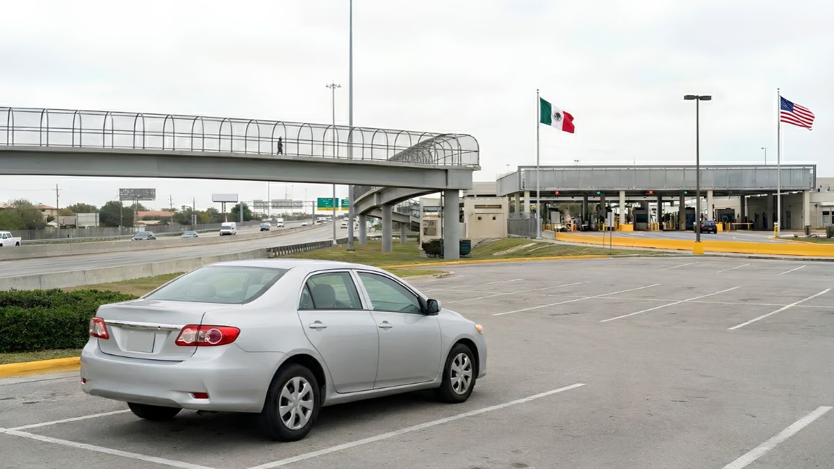
Choose the appropriate border crossing for your trip. San Ysidro is a major entry point into Tijuana, but the best crossing and return route may depend on your destination, traffic, and whether you are traveling during a busy period.
Check official border wait-time information before departure. The US Customs and Border Protection website provides current information about border crossings and travel requirements at CBP.gov. Wait times can change, so allow additional time if you have a scheduled appointment.
Prepare the items you may need for the journey, including:
- Valid travel and identification documents for everyone in the vehicle.
- A valid driver’s license.
- Vehicle registration and proof of ownership or authorization to use the vehicle.
- Mexican auto insurance documentation.
- Your destination address and an offline copy of your route.
- Emergency contacts and relevant roadside assistance information.
Requirements can vary according to citizenship, immigration status, vehicle ownership, and the intended length and location of travel. Check current official requirements before leaving rather than assuming that documents sufficient for entering Mexico by foot will cover every driving situation.
Navigation
Navigation is one of the most important preparations for driving in Tijuana. Although many visitors use familiar applications such as Google Maps or Apple Maps, mobile data coverage, traffic conditions, and route changes can affect directions.
Enter your destination before crossing the border, while parked safely. Review the complete route rather than relying entirely on turn-by-turn instructions. Pay particular attention to highway entrances, one-way streets, major intersections, and the final approach to your destination.
Download an offline map of Tijuana and the surrounding area if your navigation application supports it. An offline map can help when cellular data is unavailable, although live traffic information and some features may no longer work.
Keep the exact street address of your destination available in writing. Spanish street names may sound similar to unfamiliar visitors, and some addresses can be difficult to locate using a business name alone. If you are going to a hotel or commercial property, ask for specific driving directions, nearby landmarks, and parking instructions.
Avoid making sudden lane changes because a navigation application announces an upcoming turn. If you miss an exit, continue driving until you can make a legal and safe correction. Never stop abruptly in traffic or reverse on a busy road to recover a missed turn.
It is also useful to identify a suitable stopping point before starting the journey. A staffed fuel station, hotel parking area, or established commercial parking facility may provide a safer place to review directions than a roadside shoulder.
Signs
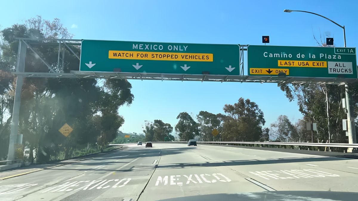
Mexican road signs generally use Spanish words, symbols, and familiar international traffic conventions. Learning a few common terms can help drivers recognize restrictions and respond to instructions without hesitation.
| Spanish sign or term | Meaning |
|---|---|
| ALTO | Stop |
| CEDA EL PASO | Yield |
| NO ESTACIONARSE | No parking |
| SENTIDO ÚNICO | One-way traffic |
| DESPACIO | Slow down |
| DESVIACIÓN | Detour |
| SALIDA | Exit |
| CUOTA | Toll road |
| LIBRE | Generally refers to a toll-free road |
Pay attention to posted speed limits, lane markings, traffic signals, pedestrian crossings, and temporary signs. Do not assume that a road has the same speed limit or right-of-way arrangements as a road in California.
At intersections, follow posted controls and applicable Mexican traffic rules. Where a stop sign is present, come to a complete stop and proceed only when it is safe and lawful. At traffic lights, watch for pedestrians, cyclists, motorcycles, and vehicles approaching from different directions.
Some roads may have lane markings or signs that are difficult to see because of wear, construction, or congestion. Reduce speed when visibility is limited and leave enough space to respond to unexpected movements.
Avoid relying on another driver’s behavior as proof that a maneuver is permitted. Follow the signs, signals, and road rules that apply to your location.
Routes
The route from the San Ysidro border crossing into Tijuana depends on your destination. Drivers heading to Zona Río, central Tijuana, Playas de Tijuana, or areas farther south may encounter different road conditions and traffic patterns.
Before departure, identify the main roads on your route and understand where you will leave the border area. Major roads may be busy, especially during commuting periods, weekends, holidays, and times when cross-border traffic is heavy.
If you plan to continue beyond Tijuana, check whether your route uses a toll road or a free alternative. Toll roads may have different operating conditions and facilities from local streets. Confirm payment requirements and route suitability before setting out.
Keep in mind that the shortest route on a map is not necessarily the easiest route for an unfamiliar driver. A slightly longer route using major roads and clearly identified destinations may be more manageable than a shortcut through unfamiliar residential streets.
Avoid entering a neighborhood solely because a navigation app suggests it will save a few minutes. Review the route, consider current local information, and use established roads appropriate for your destination.
If road closures or diversions affect your journey, follow official signs and directions from authorized personnel. Do not attempt to bypass barricades or enter restricted roads.
Insurance
Before driving into Mexico, confirm that your vehicle has appropriate Mexican auto insurance. A US auto insurance policy may not provide the liability coverage required for driving in Mexico, and coverage can vary by insurer and policy.
Contact your insurance provider before departure and ask whether your policy covers Mexico, which areas are included, and whether any restrictions apply. If necessary, purchase a policy from a reputable insurer authorized to provide Mexican auto insurance.
Review the policy for liability coverage, collision damage, theft, medical expenses, roadside assistance, and claims procedures. Keep proof of coverage accessible, either as a printed document or an electronic copy that can be opened without an internet connection.
The California Department of Motor Vehicles provides information about international driving and vehicle requirements through its official DMV website. Travelers should also review the relevant Mexican requirements for their vehicle and intended trip.
Vehicle ownership matters, too. If you are driving a rental car, confirm that the rental company permits travel into Mexico and that you have the necessary authorization and insurance documents. Do not assume that a standard US rental agreement automatically allows cross-border travel.
If you are using a borrowed or financed vehicle, check whether additional documentation or permission is required. Requirements can depend on the vehicle’s circumstances and the type of trip.
Safety
Driving defensively is important in any unfamiliar city. In Tijuana, allow additional time for traffic, lane changes, pedestrians, motorcycles, delivery vehicles, and road conditions that may differ from those you regularly encounter in California.
Keep a safe following distance and avoid aggressive driving. Use turn signals, check mirrors before changing lanes, and pay attention to vehicles approaching from either side. If traffic slows suddenly, reduce speed gradually and remain alert to vehicles merging into your lane.
Avoid using your phone while driving. Set navigation before departure and use hands-free features where lawful. If you need to change directions or check a message, find a safe, legal place to park first.
At night, drive cautiously and choose routes you have reviewed in advance. Poor lighting, unfamiliar intersections, and reduced visibility can make navigation more difficult. Keep doors locked when appropriate, valuables out of sight, and sufficient fuel in the vehicle.
If you encounter a roadblock, collision, or unusual situation, avoid confrontations and follow instructions from identifiable, authorized officials. If you are uncertain about a route, stop at an appropriate public location to reassess rather than making a rushed decision.
Travelers should also review current official travel guidance before departure. The US Department of State publishes country information and travel advisories for Mexico at Travel.State.gov. Consult the guidance relevant to Baja California and check for updates before your trip.
Parking
Parking arrangements are worth confirming before you arrive. A hotel, restaurant, shopping center, or medical facility may offer designated parking, but availability, hours, and charges can vary.
Ask your destination whether parking is available on-site, whether spaces are secure, and whether there are restrictions on vehicle size or overnight parking. If the destination does not offer parking, identify an established parking facility nearby before setting out.
Observe signs that prohibit parking, identify loading zones, or restrict stopping at particular times. Avoid blocking driveways, pedestrian crossings, entrances, or emergency access routes.
When parking, remove valuables from view and take important documents with you when appropriate. Do not leave passports, identification documents, or sensitive financial information unattended inside the vehicle.
If you use a paid parking facility, check the payment method and operating hours. Keeping some Mexican pesos available can be helpful when a parking facility does not accept your preferred electronic payment method.
Before leaving the vehicle, note its location and the name or address of the parking facility. A saved map pin or photograph of the parking entrance can make it easier to return without unnecessary searching.
Emergencies
Every driver should know how to request assistance before beginning an unfamiliar journey. Mexico uses 911 for emergencies, including situations requiring police, ambulance, or fire services. Availability and response arrangements may vary by location, so provide your location as clearly as possible when calling.
Save important numbers in your phone and keep a written copy in the vehicle. Useful contacts include:
- 911: Emergency assistance in Mexico.
- Your Mexican auto insurer: Claims, roadside assistance, and accident instructions.
- Your rental company: Vehicle breakdowns or rental-related problems.
- Your roadside assistance provider: Towing or mechanical assistance, if your coverage applies in Mexico.
- Your hotel or destination: Directions and assistance with local arrangements.
- Your country’s consular services: Help with serious situations involving citizens abroad.
If a collision occurs, prioritize safety and follow local legal requirements. Contact emergency services if anyone is injured or there is an immediate danger. Notify your insurer and follow its instructions. Avoid making assumptions about fault or agreeing to informal settlements before understanding the appropriate procedure.
If your vehicle breaks down, move out of traffic when it is safe and possible to do so. Turn on hazard lights and contact your roadside assistance provider. If the vehicle is in a dangerous position, prioritize personal safety and follow emergency instructions rather than attempting repairs in moving traffic.
Travelers who are US citizens can find consular information through the US Department of State’s official Mexico country information page. Keep in mind that consular services do not replace local emergency services or auto insurance.
Checklist
A final check before leaving San Ysidro can help prevent avoidable delays. Make sure your travel documents are valid, your vehicle is authorized for cross-border use, and your Mexican insurance is active for the intended journey.
Confirm your destination, download an offline map, check border conditions, and review the main roads you will use. Save emergency contacts and ensure your phone has enough battery power. If you are traveling with passengers, explain the general route and agree on where to meet if you become separated.
Check fuel levels, tires, lights, and any vehicle warning indicators before departure. If you expect a long drive beyond Tijuana, review road conditions and fuel availability along the entire route.
Most importantly, allow enough time to drive without rushing. Border queues, unfamiliar streets, and unexpected diversions can make travel take longer than anticipated. A flexible schedule reduces pressure to make unsafe decisions.
Driving from San Ysidro into Tijuana becomes more manageable when you understand the route, recognize common Spanish road signs, confirm insurance requirements, and know how to seek assistance. With reliable navigation, appropriate documentation, and a cautious approach to local traffic, visitors can prepare for their journey more effectively and respond calmly when conditions change.
FAQs
Can I use Google Maps while driving in Tijuana?
Yes, but download offline maps and review your route before driving.
Do I need Mexican car insurance in Tijuana?
Confirm your coverage; US policies may not provide required Mexican liability insurance.
What is the emergency number in Tijuana?
Call 911 for emergencies in Mexico.
What does ALTO mean on Mexican road signs?
ALTO means stop. Come to a complete stop and proceed when safe.
Should I download maps before crossing the border?
Yes, offline maps can help when mobile data or connectivity is unavailable.