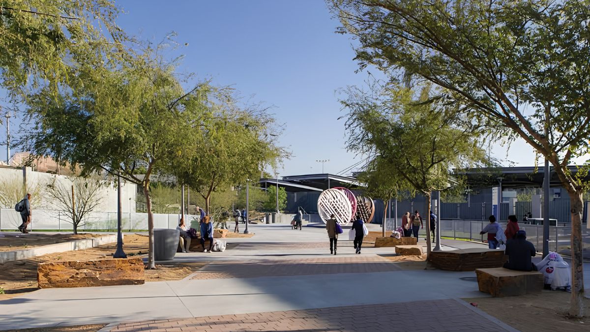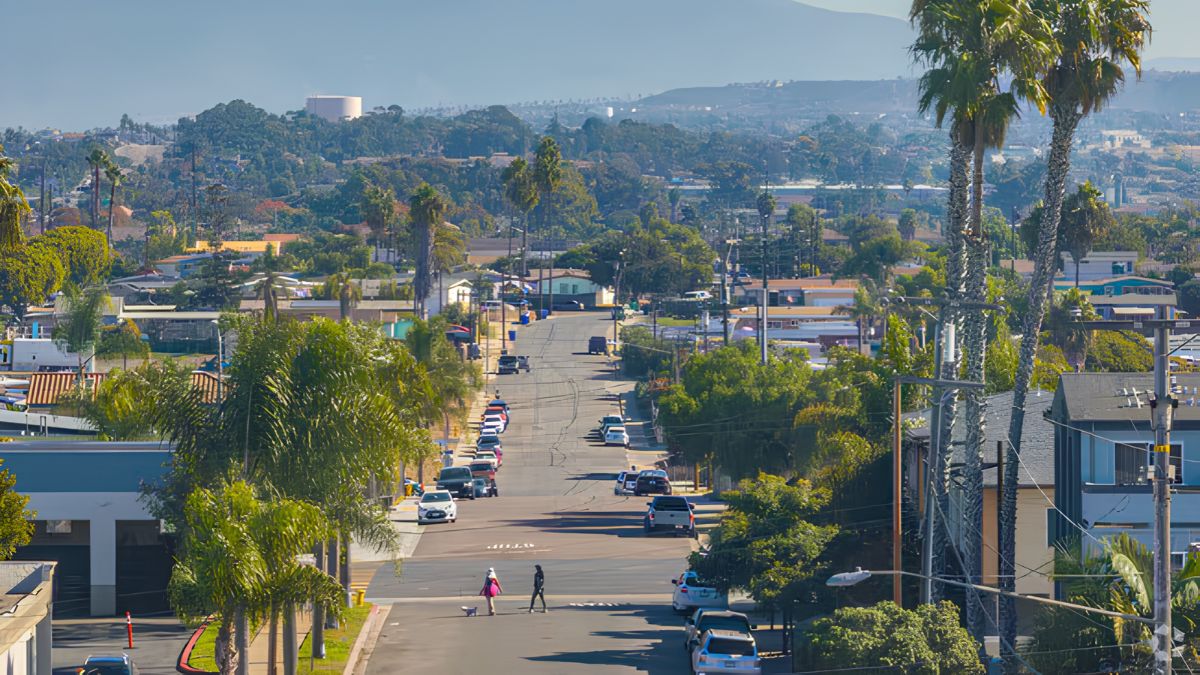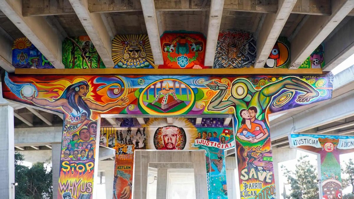
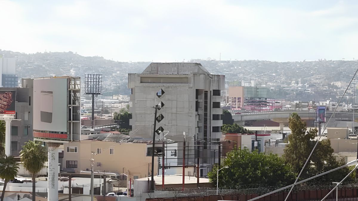
San Ysidro’s urban landscape can tell a remarkable story about how a community grows, adapts and changes over time. Streets that once bordered open land may now connect residential neighborhoods and commercial areas. Older buildings may give way to new developments, while parks, transportation routes and public spaces evolve alongside the needs of residents.
Documenting these changes requires more than collecting old photographs and comparing them with modern images. Historical records, geographic data and verified sources help explain when changes occurred, what influenced them and how they affected the surrounding community. Whether you are a resident, student, local researcher or neighborhood organization, a structured approach can turn scattered information into a reliable visual history of San Ysidro.
Purpose
A visual record of urban change helps people understand how places develop beyond what they can see today. Before-and-after images can reveal differences in building density, road layouts, vegetation, commercial activity and public infrastructure. When paired with reliable historical information, they can also provide context for planning decisions and neighborhood development.
For San Ysidro, useful subjects may include streets near commercial centers, residential blocks, public parks, transportation connections, community facilities and areas undergoing redevelopment. The goal is not simply to show that a location looks different. It is to explain the changes using evidence.
For example, a photograph showing a wider roadway does not automatically establish when the road was widened or why. A dated transportation plan, construction record or municipal report may help answer those questions.
Before starting, define the project’s geographic scope and time period. You might focus on one intersection over several decades, document changes along a major street or compare selected public spaces from the mid-twentieth century to the present.
A clear scope keeps the research manageable and makes it easier to verify each finding.
Sources
Reliable documentation begins with trustworthy sources. Historical photographs found on social media can offer useful leads, but their dates, locations and captions may be inaccurate. Whenever possible, trace images and historical claims to the original collection or issuing organization.
Several institutions can help researchers investigate San Ysidro’s development:
- San Diego Public Library for historical photographs, local history materials and research assistance.
- San Diego History Center for regional historical collections, photographs and archival resources.
- City of San Diego for planning documents, infrastructure information, public records and municipal project history.
- SanGIS for geographic information and mapping resources covering San Diego County.
- U.S. Geological Survey for maps, aerial imagery resources and geographic data.
- National Archives for federal records and historical materials that may help explain regional development.
Not every institution will hold records for every location or period. Some materials may require an in-person visit or a formal request.
Create a source register as you work. Record the institution, collection name, document title, date, location, archive reference and access link where available. This makes it easier to revisit the evidence and allows other people to verify your research.
Images
Before-and-after photography is one of the clearest ways to communicate urban change. The strongest comparisons show the same place from similar angles and include enough surrounding detail to identify the location.
Start by selecting historical photographs with identifiable features such as street intersections, distinctive buildings, hills, utility poles or established trees. These landmarks can help confirm where an image was taken.
Then photograph the location as it appears today. If possible, return to the original camera position and match the earlier image’s direction, height and framing. Even small differences in perspective can make a street appear wider or a building seem taller than it really is.
When exact alignment is impossible, explain the limitation in the caption.
Each image should have a clear record containing:
- Original or estimated date.
- Location and direction of view.
- Photographer or collection, if known.
- Source and permission requirements.
- Relevant features visible in the image.
- Confidence level for the date and location.
Never assign an exact date simply because a photograph resembles another image from a known period. If the date is uncertain, use wording such as “circa 1970” or “date unconfirmed” and explain the evidence supporting the estimate.
Preserve original files whenever possible. If you crop, enhance or adjust an image for publication, keep an unchanged copy and document significant edits. Avoid digitally removing buildings, adding features or altering the scene in ways that could misrepresent historical conditions.
Geography
Geographic data can connect photographs to precise locations and show how development spreads across an area. A geographic information system, commonly called a GIS, allows researchers to compare maps, boundaries, roads, parcels and other spatial information.
For a basic project, you do not need advanced GIS expertise. A digital map with marked locations and consistent labels can be enough to organize a collection of before-and-after photographs.
Useful geographic information may include road networks, property boundaries, land-use designations, park locations, building footprints and aerial imagery. These layers can help explain whether a visible change relates to redevelopment, transportation improvements, changes in land use or the expansion of nearby facilities.
SanGIS is a practical starting point for regional geographic information. The USGS also provides mapping and earth observation resources that can help researchers investigate landscape change.
When comparing geographic datasets, check their dates, scales and definitions. A parcel boundary is not necessarily the same as a building footprint, and a planning designation does not prove that the proposed development was completed.
Likewise, aerial photographs taken in different seasons may show different vegetation conditions. Changes in tree cover should not automatically be attributed to development without checking additional evidence.
Timeline
A chronological framework helps connect visual differences with documented events. Instead of comparing two photographs and guessing what happened between them, build a timeline using dated images, planning records, construction documents and other historical sources.
For example, a research timeline might look like this:
| Period | Evidence to examine | Possible findings |
|---|---|---|
| Earlier decades | Historic photographs and maps | Original street patterns and land use |
| Development period | Subdivision maps and planning records | New housing, roads or commercial areas |
| Infrastructure changes | Construction documents and transportation plans | Road alterations and public improvements |
| Recent years | Current imagery and project records | Redevelopment and changes in public space |
| Present day | Field photographs and current geographic data | Existing conditions and remaining historical features |
These periods are research categories rather than claims about when specific San Ysidro projects occurred. Actual dates should come from verified records.
A useful timeline distinguishes between a proposal, an approval, the start of construction and project completion. Those events may happen in different years.
If records disagree, preserve the disagreement in your notes. One document may record the approval date, while another refers to the opening or completion date. Explaining the difference is more reliable than forcing the information into a single date.
Verification
Verification is essential because an inaccurate caption can undermine an otherwise useful visual history. Every major claim should be supported by evidence appropriate to that claim.
Begin by checking whether the photograph depicts the stated location. Compare visible landmarks with historic maps, street layouts and other photographs. Then establish the date using original captions, collection metadata, dated documents or identifiable changes in the surrounding environment.
For claims about construction or redevelopment, seek official records such as permits, planning documents, meeting minutes, environmental reports or project completion announcements.
A practical evidence table can help:
| Claim | Preferred evidence | Verification question |
|---|---|---|
| A building existed by a certain year | Dated photograph or official record | Is the date supported by the original source? |
| A road was widened | Engineering or project records | Do the documents confirm the completed work? |
| A parcel changed use | Historical maps and planning records | Does the record describe the actual site? |
| A park was developed | Construction records and dated imagery | Is there evidence of completion? |
| Vegetation declined | Comparable imagery and field observations | Were season and image conditions considered? |
Try to corroborate important findings with two independent sources where possible. A newspaper article and an official construction report may offer complementary evidence, although each should still be evaluated on its own merits.
Avoid treating search engine snippets, unattributed online images or AI-generated summaries as final proof. Use them to identify leads, then locate the underlying source.
Fieldwork
Visiting locations in person can help resolve questions that remain after desk research. Field observations allow you to confirm street names, identify surviving landmarks and photograph present-day conditions.
Prepare a route with the selected locations and record the date, time, camera position and direction of each photograph. If you are comparing multiple sites, use consistent naming conventions so images do not become confused during later editing.
Take wide photographs that show the overall setting and closer images of features relevant to your research. Include the surrounding streetscape when it helps establish the location.
Respect private property and traffic safety. Photograph from lawful, publicly accessible areas whenever possible, and never stand in a roadway or enter restricted property to recreate an old image.
Also consider the limits of visual evidence. A present-day building may occupy the same location as a historical structure without having the same function, ownership or architectural history. Those details need documentary support.
Analysis
Once the images and geographic records are organized, examine what actually changed. Look for shifts in building height, density, street design, land use, tree cover, pedestrian space and the relationship between homes and commercial areas.
Separate direct observations from interpretations. “The newer photograph shows a larger paved area” is an observation. “The area was paved to accommodate increased traffic” is an explanation that requires additional evidence.
This distinction matters because urban change usually has several possible causes. A new commercial building may relate to zoning, investment, transportation access or changes in local demand. Photographs alone rarely establish which factor was decisive.
Consider how the change affects the wider setting. Did a new road alter pedestrian connections? Did redevelopment replace vacant land? Did a park remain intact while surrounding buildings changed? These questions can guide further research without presuming that every change had the same impact.
Balanced documentation should acknowledge both what the evidence shows and what remains unknown.
Presentation
A well-organized presentation makes historical research easier to understand and verify. Each comparison should include the historical image, the current photograph, the location, the dates and a concise explanation of the evidence.
Use consistent captions. A practical format is:
Location: Name of street or intersection
Historical image: Date, source and archive reference
Current image: Date photographed
Observed change: A brief, factual description
Supporting records: Links or citations to relevant maps and documents
Limitations: Any uncertainty about dates, boundaries or camera position
Interactive maps can help users explore multiple locations, while a printed report may be more suitable for community meetings or local history displays. A digital timeline can also make it easier to show the sequence of major changes.
Provide source credits and respect copyright or reproduction restrictions. Public availability does not necessarily mean a photograph can be republished without permission.
If the project is intended for public use, offer descriptive text for images and ensure the map or report remains readable on mobile devices.
Preservation
Documenting urban change is not only about recording what has disappeared. It can also help residents recognize buildings, landscapes and public spaces that remain important to community history.
A carefully researched visual archive may support local history education, neighborhood planning discussions and future research. It can help residents ask informed questions about development proposals and understand how earlier decisions shaped today’s streets and public spaces.
Share findings with local libraries, historical organizations, neighborhood groups or educational institutions that may be able to preserve the material. Keep copies of original images, source records and research notes in an organized format, with backups where possible.
Be transparent about uncertainty, especially when identifying historical locations or describing the effects of redevelopment. Credibility grows when researchers clearly distinguish verified facts from interpretation.
San Ysidro’s changing urban landscape can be documented most effectively by combining before-and-after photographs with geographic data, official records and carefully checked historical sources. Each source offers a different perspective, and together they can reveal a more complete story of how the neighborhood has developed. With consistent documentation and transparent verification, residents can create a lasting visual record that supports local understanding and preserves community history for future generations.
FAQs
Where can I find historical images of San Ysidro?
Start with the San Diego Public Library and San Diego History Center collections.
How can I compare old and current photographs accurately?
Match locations, camera angles and visible landmarks wherever possible.
What geographic data can help document urban change?
Historic maps, aerial imagery, parcel records and land-use datasets can help.
How do I verify a historical photograph’s date?
Check original captions, archive metadata and supporting historical records.
Why use multiple sources for urban history?
Independent sources help confirm dates, locations and the causes of change.