Walking through San Ysidro offers an opportunity to understand the community beyond its shops, roads, and everyday destinations. Streetscapes, commercial buildings, public gathering areas, and transportation corridors can reveal how a neighbourhood has developed and how its residents use shared spaces. By observing these features through a local history perspective, visitors can connect the built environment with the area’s changing role as a border community in the San Diego region.
San Ysidro’s position beside the United States-Mexico border has influenced its movement patterns, commercial activity, and relationship with surrounding communities. The presence of border-crossing infrastructure, transit connections, local businesses, and residential streets gives the area a distinctive urban character. These features can be observed during a walk, although knowing their history requires more than looking at buildings alone. Public records, historical photographs, local archives, and community accounts can help explain how the landscape has changed.
A thoughtful walking route does not need to cover a large area. Even a short walk can reveal differences in building styles, storefronts, street layouts, signs, pedestrian facilities, and public spaces. By moving at a comfortable pace and paying attention to details, walkers can develop a clearer picture of how San Ysidro’s physical environment reflects its history, economy, and community life.
Preparation
Before beginning a historical walk, decide what you want to observe. You might focus on commercial architecture, transportation, public spaces, or the relationship between residential streets and business areas. Choosing a theme helps you notice details that might otherwise be overlooked.
Start by reviewing a map of San Ysidro and identifying a compact route with public sidewalks and accessible stopping points. A route that passes through a commercial area and a nearby public space can provide useful contrasts without requiring extensive travel.
Historical research can make the walk more informative. Look for old photographs, maps, newspaper archives, planning documents, and official accounts of local development. Comparing older images with current streetscapes can reveal changes in building use, street widths, storefronts, and transportation infrastructure.
The San Diego History Center is a useful starting point for researching the wider history of San Diego and its communities. Its collections and historical resources can provide context for understanding regional development, although specific information about individual San Ysidro buildings should be verified separately.
Official reference: San Diego History Center.
Before setting out, check the weather, wear comfortable shoes, carry water, and confirm that your route follows publicly accessible streets and spaces. Some areas near the international border have restricted access or security-related rules, so remain within public areas and follow posted instructions.
Streetscapes
A streetscape is the combined visual experience of a street and its surroundings. It includes buildings, sidewalks, signs, trees, lighting, road surfaces, crossings, and the way these elements relate to one another.
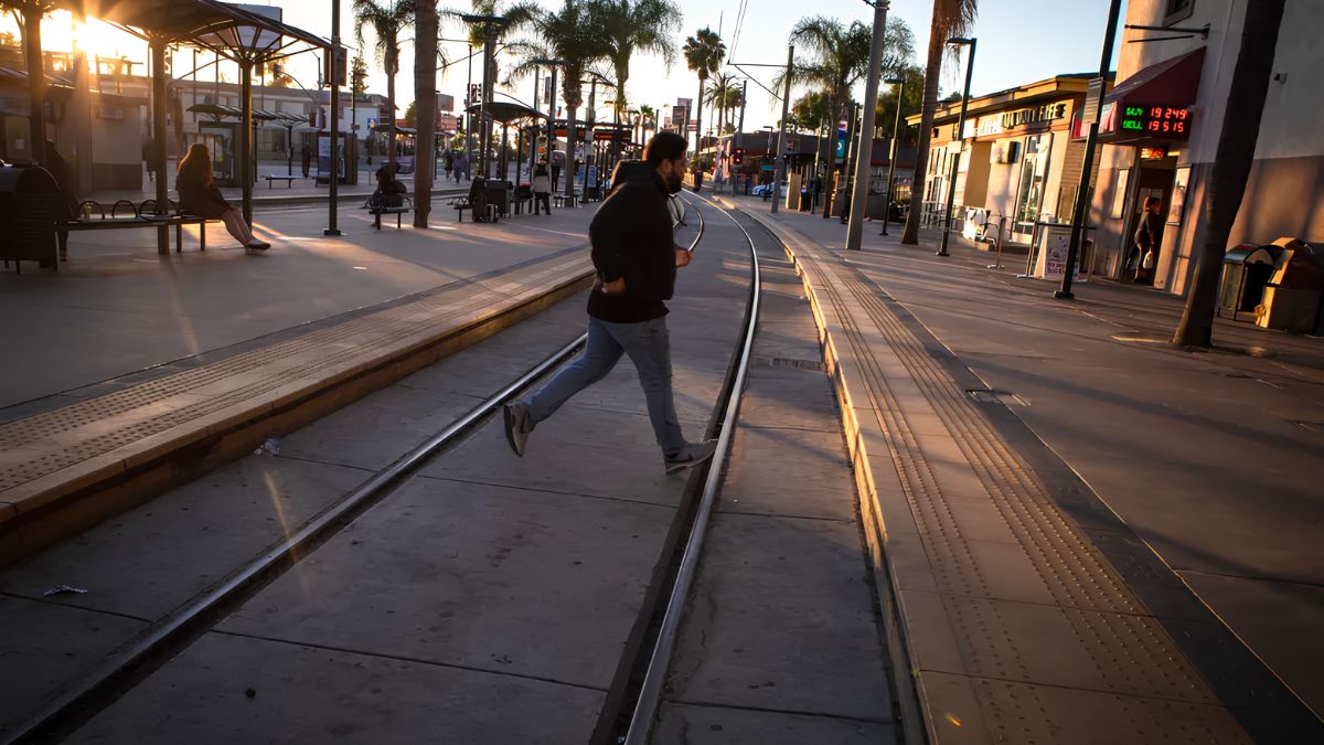
In San Ysidro, streetscapes can be observed as records of everyday urban development. A street with closely spaced storefronts may encourage walking between businesses, while a road designed primarily for vehicle movement may create longer distances between destinations. Sidewalk width, crossing locations, shade, and street furniture also influence how comfortable an area feels to pedestrians.
Look at the relationship between buildings and the sidewalk. Are entrances close to the street, or are they set back behind parking areas? Do windows and doors face the public walkway? Are there awnings, signs, or display windows that invite people to stop? These details can help explain how a commercial street is designed to support business activity.
Street layouts can also suggest how transportation priorities have changed over time. Wider roads, turning lanes, pedestrian crossings, and transit facilities may reflect different stages of development or attempts to manage growing travel demand. However, appearance alone cannot establish when or why a particular feature was built. Historical maps and public planning records are needed to confirm those explanations.
As you walk, note the features that make the street feel connected or fragmented. A continuous row of storefronts may create a strong sense of place, while large parking areas or busy intersections may interrupt the pedestrian experience. Both patterns can tell you something about the practical needs that shaped the area.
Buildings
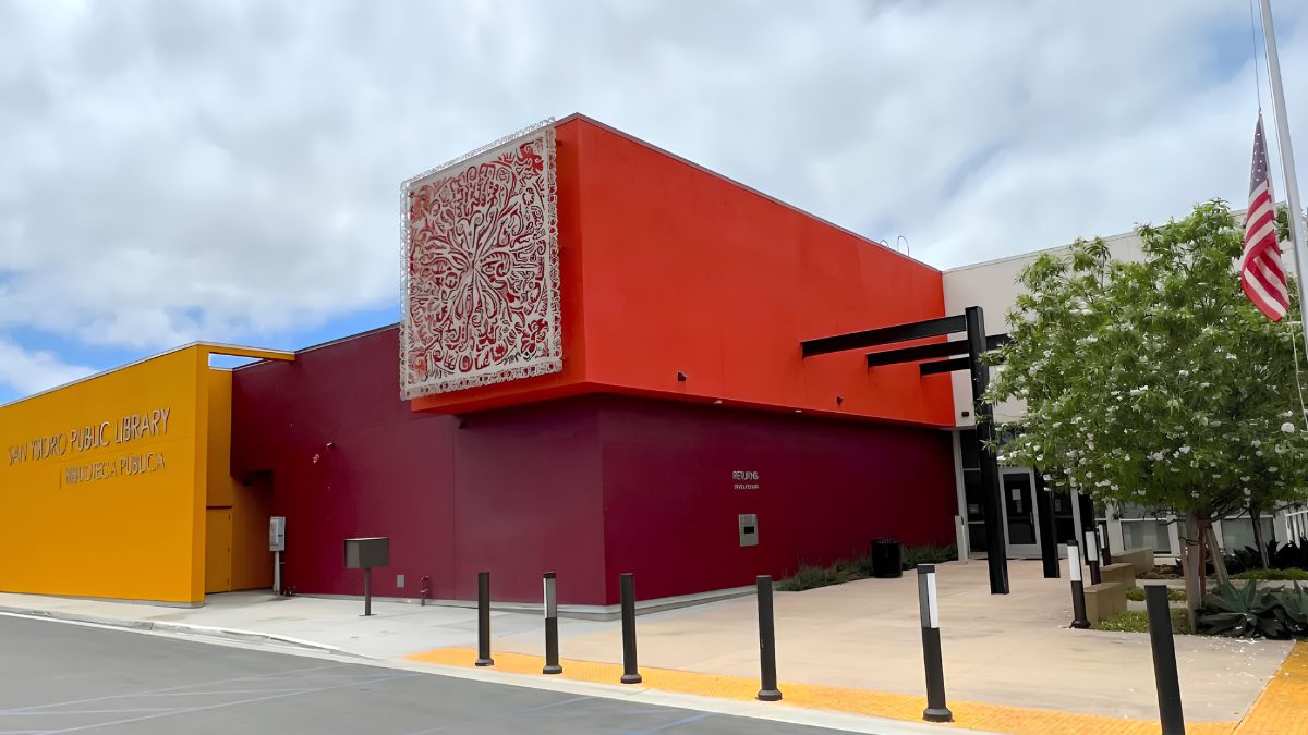
Commercial buildings are useful subjects for historical observation because their exterior features often reveal how businesses communicate with customers and adapt to changing needs.
Start with the overall form. Notice the height of the building, the shape of its roofline, the placement of entrances, and the arrangement of windows. Look for changes in materials, paint, signage, and facade design. A building that appears simple from a distance may contain details that become visible when viewed from the sidewalk.
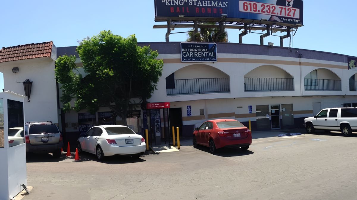
Storefronts deserve particular attention. Signs may indicate the current business, while older sign brackets, covered lettering, or changes in facade materials may suggest that a property has been adapted over time. These clues can help you form questions about a building’s past, but they do not prove its age or previous use without supporting evidence.
Consider how commercial buildings meet the street. Some offer direct access from the sidewalk, while others are separated from pedestrians by parking or service areas. These arrangements affect visibility, convenience, and the relationship between businesses and public space.
It is also useful to distinguish architectural observation from historical interpretation. You can confidently record that a building has a recessed entrance, metal security shutters, or a large display window. You should be more cautious about assigning a construction date, architectural style, or original purpose unless a reliable source supports the claim.
If a building interests you, note its address and photograph its exterior from a public place where photography is permitted. You can later compare the image with historical photographs, property records, or official documentation. Avoid entering private property or photographing people in ways that intrude on their privacy.
Commerce
Commercial activity is central to understanding how many neighbourhoods function, and San Ysidro’s border location gives this subject particular relevance. Retail businesses, food outlets, service providers, and other commercial establishments contribute to the area’s daily rhythms.
During your walk, observe how businesses relate to one another. Are there clusters of similar shops? Do businesses cater to people who arrive on foot, by car, or through public transportation? Are signs designed to communicate with customers in more than one language? These observations can reveal how businesses respond to the needs of their customers.
Look at the practical features that support commerce. Loading areas, parking entrances, pedestrian crossings, transit stops, and places to wait can all influence how people reach shops. The location of a business within the street network may affect its visibility and accessibility.
Changes in storefronts can also prompt questions about economic history. A newly renovated facade may indicate investment, while an empty commercial unit may reflect a temporary vacancy or a longer-term change. However, one visit cannot explain the cause. A vacant storefront, for example, does not necessarily indicate declining economic activity across the neighbourhood.
To build a more reliable picture, compare observations from different visits or consult local business directories and planning documents. If you speak with business owners, ask respectful, open-ended questions about how the street has changed and what makes the location useful for their customers. Treat personal recollections as valuable perspectives, while recognising that they may not represent everyone’s experience.
Publicspaces
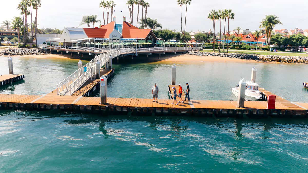
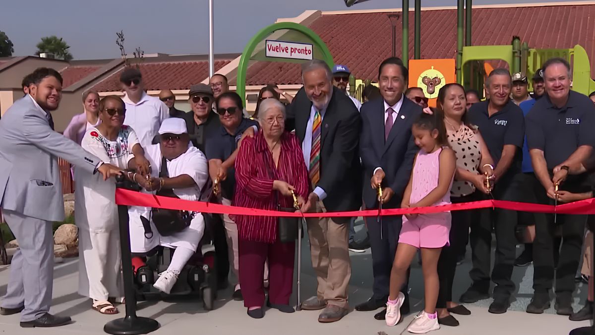
Public spaces provide another way to understand the relationship between the built environment and community life. Sidewalks, plazas, parks, landscaped areas, and other publicly accessible places can serve as routes, meeting points, resting areas, and settings for informal social interaction.
During a walk, pay attention to how people use these spaces at different times. Some locations may be busy during commuting periods, while others may be more active around lunchtime or after school. Benches, shade, lighting, landscaping, and the placement of crossings can influence whether people stop or simply pass through.
A space’s design can tell you something about its intended use. Seating may encourage people to rest, while an open paved area may accommodate movement or gatherings. Trees and planted areas can soften the surrounding built environment and provide shade, although their actual impact depends on placement, maintenance, and local conditions.
Notice whether public spaces connect conveniently with nearby businesses, residential streets, and transit stops. A well-connected space may support several activities during a single visit, while a location separated by heavy traffic may be harder to reach on foot.
It is important to distinguish between public property and privately owned spaces that appear open to visitors. Shopping-centre walkways, for example, may have rules different from those governing public sidewalks or parks. Check signs and respect restrictions.
For information about parks, public facilities, and city services, consult the City of San Diego. Official information can help confirm the status of particular spaces and identify facilities that are open to the public.
Border
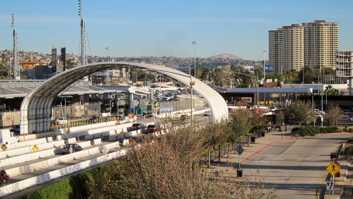
San Ysidro’s relationship with the international border is an important part of its physical and historical context. Border-related movement affects transportation patterns, commercial activity, and the way people navigate parts of the community.
During a walk, observe how roads, pedestrian routes, transit facilities, signs, and waiting areas organise movement. Consider how these features connect the border crossing with nearby commercial streets and other destinations. The design of these routes can influence where pedestrians gather, which streets feel busy, and how businesses serve people passing through the area.
The border should not, however, be treated as the sole explanation for every feature of San Ysidro’s urban landscape. Residential needs, regional transportation planning, commercial development, and public investment also contribute to how the community is shaped.
Historical interpretation benefits from looking at multiple sources. Maps, photographs, public planning documents, and oral histories can help explain when particular transportation features were introduced and how their role has changed. The experience of residents who have lived in the area for many years may also provide context that is not obvious from the physical environment.
If your walk approaches the port of entry, remain in designated public areas and follow all signs and instructions from authorities. Do not enter restricted areas or obstruct pedestrian and vehicle routes. For current information about border travel and entry procedures, consult U.S. Customs and Border Protection.
Transportation
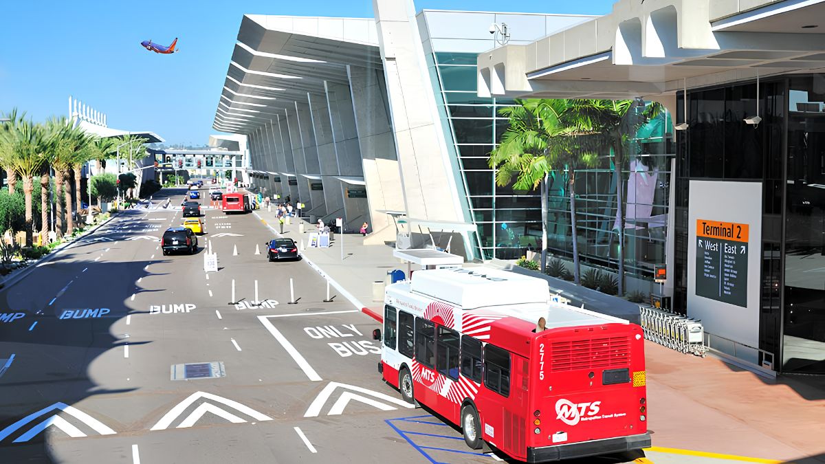
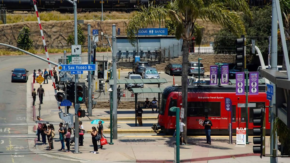
Transportation infrastructure can reveal how people move through San Ysidro and how different modes of travel interact. Streets, sidewalks, crossings, transit stops, and vehicle access points all influence the experience of walking through the community.
Look for the relationship between pedestrian routes and major roads. Are crossings located where people naturally need to cross? Are sidewalks continuous? Is there shade along exposed stretches? Do transit stops have seating or clear route information? These details can help explain which areas are convenient for walking and where the pedestrian experience becomes less comfortable.
The San Diego Metropolitan Transit System provides a useful resource for understanding the area’s wider transportation network. Its website offers information about transit routes, schedules, and trip planning.
Official reference: San Diego Metropolitan Transit System.
If you want to connect your walk with a transit journey, identify the nearest stop before setting out and check current service information. Allow time for crossings and walking between destinations. A historical walk is usually more enjoyable when the route includes opportunities to pause rather than requiring you to hurry between locations.
Transportation observations can also be recorded for later comparison. For example, you might note where pedestrian crossings are concentrated or how commercial streets connect with transit stops. Repeating the walk after several months may help you identify changes in signage, construction, or public-space use.
Documentation
Recording observations makes a walking guide more useful, particularly if you plan to compare the present-day environment with historical sources.
A notebook or phone can be used to record street names, building addresses, architectural details, public-space features, and questions that arise during the walk. Photographs can supplement these notes, provided they are taken from permitted locations and respect privacy and access restrictions.
Separate direct observations from interpretations. A note such as “the storefront has a recessed entrance and a faded sign bracket” records visible details. A statement such as “the building once housed a family-owned shop” requires historical evidence.
A simple observation table can help organise your findings.
| Feature | What to record | Follow-up research |
|---|---|---|
| Street | Sidewalks, crossings, shade, traffic | Maps and planning records |
| Commercial building | Materials, windows, entrances, signs | Property records and historical photographs |
| Public space | Seating, landscaping, access, activity | City facility information |
| Transit area | Stops, routes, pedestrian connections | Transit maps and service history |
| Border-related route | Signs, crossings, movement patterns | Official records and regional history |
You can also compare current photographs with older images to identify changes in building use, street design, or commercial signage. Make sure the images show the same location and, where possible, record their dates and sources.
When collecting oral histories, ask permission before recording conversations and explain how you intend to use the information. People may remember the same place differently, and those differences can be part of the area’s history. Avoid presenting an individual account as a complete description of the community.
Walking
A practical walking route should combine manageable distances with varied features to observe. Rather than attempting to cover all of San Ysidro, select a small area where commercial buildings, pedestrian infrastructure, and public spaces can be viewed together.
Begin at a recognisable public location, then walk along a commercial street and identify several buildings worth examining. Continue towards a nearby public space or transit connection, observing how the character of the street changes along the way. Finish at a convenient point where you can rest or return to your starting location.
Allow time to stop and take notes. A route of modest length can provide more insight than a longer walk undertaken without time for observation.
Keep practical conditions in mind. Choose comfortable footwear, bring water, check the weather, and use designated crossings. If walking near major roads, pay attention to traffic and avoid becoming distracted while taking photographs. Some streets may be noisy or exposed to direct sunlight, so choose rest points accordingly.
If you are walking with children or a group, explain the route and agree on meeting points. Make sure the walk is suitable for everyone’s mobility and comfort needs. For anyone who prefers not to walk the full distance, consider a shorter route with fewer stops.
Reflection
After the walk, review your notes and identify the details that most clearly shaped your impression of San Ysidro. You might notice that storefront design influences the feel of a street, that transit connections affect pedestrian activity, or that public spaces provide important links between commercial destinations.
Then compare those observations with reliable historical information. Look for evidence that explains when buildings were constructed, how streets developed, and what changes occurred in transportation or land use. Avoid filling gaps in the historical record with assumptions based only on appearance.
A useful final exercise is to choose one street, building, or public space and write a short account of what you observed, what historical sources confirm, and what questions remain unanswered. This approach keeps the interpretation grounded in evidence while leaving room for further research.
Walking through San Ysidro with a local history perspective turns familiar streets and commercial areas into opportunities for closer observation. Buildings, sidewalks, signs, transit facilities, and public spaces each offer clues about how the community functions and has changed. When these details are considered alongside historical photographs, official records, and community perspectives, a simple walk can become a more informed exploration of the area’s built environment and its relationship with the wider San Diego region.
FAQs
What should I observe on a historical walk?
Look at building details, storefronts, sidewalks, signs, and public spaces.
How can I research older San Ysidro buildings?
Compare historical photographs, maps, archives, and official property records.
Why is the border important to local history?
It influences transportation, commercial activity, and movement through the area.
Where can I find local history resources?
Start with the San Diego History Center and official city resources.
How can I walk safely around San Ysidro?
Use public sidewalks, designated crossings, and permitted public areas.
![Heavy traffic and long lines of cars waiting at the San Ysidro border crossing during a busy shopping rush[cite: 3].](https://sanysidrochamber.org/wp-content/uploads/2026/10/Getting-Around-San-Ysidro-During-Shopping-Rushes-and-Border-Delays-What-Travellers-Should-Plan-For.jpg)