Getting around the southern part of San Diego County is easier when visitors understand how San Ysidro, Chula Vista, and Downtown San Diego connect. These three areas serve different purposes for travelers, commuters, shoppers, and residents, but they are linked by major roads and public transportation services that make travel between them possible throughout the day.
San Ysidro sits near the U.S.-Mexico border and serves as an important entry point for people traveling between the two countries. Chula Vista lies to the north, with residential neighborhoods, shopping destinations, and business districts. Downtown San Diego is farther north and serves as a regional center for offices, hotels, restaurants, entertainment, and connections to other parts of the county.
Visitors can travel between these locations by trolley, bus, car, rideshare, or a combination of transportation options. The most suitable choice depends on the destination, time of day, traffic conditions, budget, and whether the journey begins near a transit station.
Knowing the available connections before leaving can help visitors plan their schedules, reduce unnecessary transfers, and choose a practical route for sightseeing or everyday travel.
Geography
The three areas are connected along the southern portion of the San Diego metropolitan region, but they have different layouts and transportation needs.
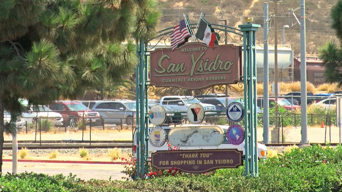
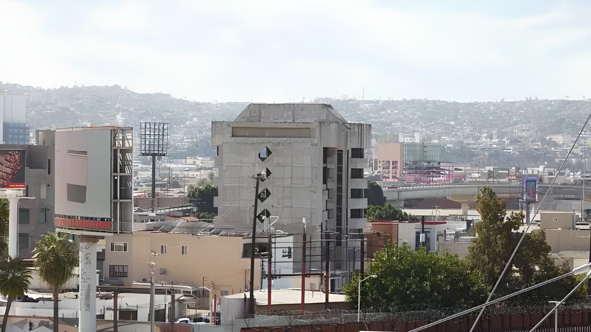
San Ysidro is located next to the international border crossing at San Ysidro Port of Entry. Its transportation network serves local neighborhoods, border travelers, and people continuing toward other parts of San Diego County.
Chula Vista extends north of San Ysidro and includes several distinct neighborhoods and commercial areas. Its size means that the distance between a particular address and the nearest transit station can vary considerably. Visitors traveling to a specific shopping center, hotel, or residential neighborhood should check the final part of the journey rather than relying only on the distance between cities.
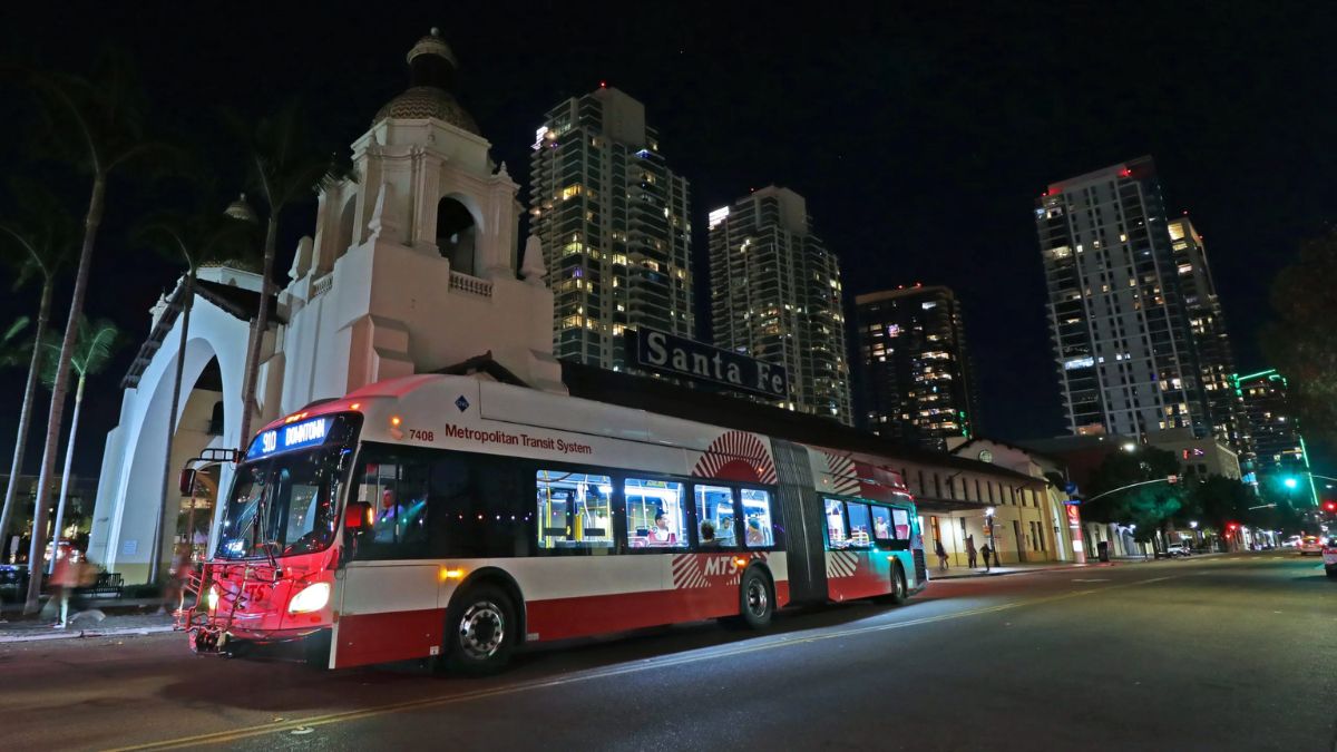
Downtown San Diego is farther north and includes major destinations such as the Gaslamp Quarter, the waterfront, the convention center area, and Santa Fe Depot. These destinations are relatively close to one another compared with many suburban locations, although walking distances and accessibility still depend on the exact starting and ending points.
The main transportation routes follow this general north-south connection. Interstate 5 provides a major driving corridor, while the San Diego Trolley offers a useful public transportation link between San Ysidro and Downtown San Diego, with stations serving parts of Chula Vista along the way.
Trolley
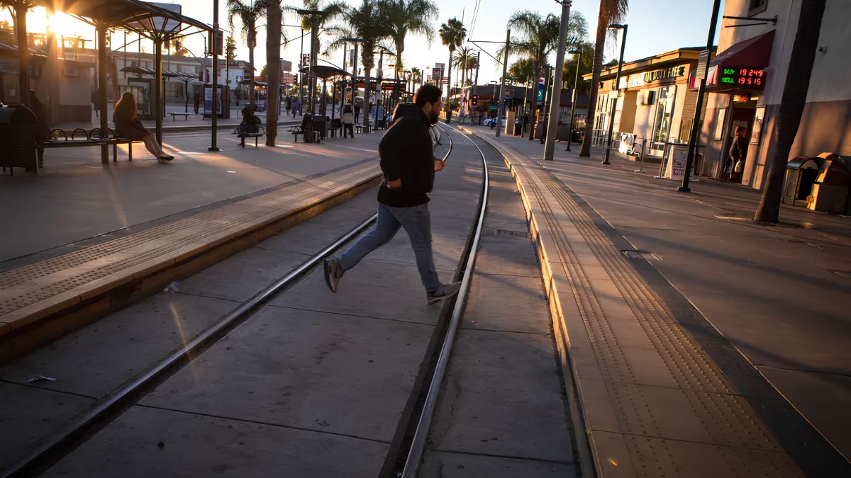
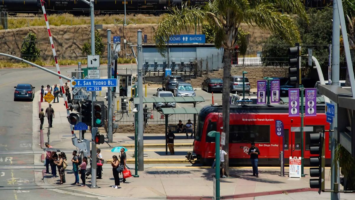
The San Diego Trolley is one of the most practical options for visitors traveling between San Ysidro and Downtown San Diego. The Blue Line connects the San Ysidro Transit Center with central San Diego and continues north toward destinations beyond downtown.
For visitors, one important advantage is that the trolley reduces the need to drive through traffic or find parking at each destination. It can be particularly useful for travelers staying near a station or planning to visit several places along the route.
The San Ysidro Transit Center is an important starting point for people entering the United States from Mexico or staying in the surrounding area. From there, passengers can board the trolley toward downtown and other stations along the Blue Line.
Chula Vista has multiple trolley stations serving different parts of the city. Depending on the destination, visitors may use stations such as H Street, Palomar Street, or Bayfront/E Street. The most appropriate stop depends on where the journey ends and whether a bus, taxi, or walk is needed afterward.
Travelers should confirm their station and direction before boarding. Some destinations require additional transportation from the nearest station, particularly in areas where commercial centers or residential streets are spread out.
Official route maps, station information, and service updates are available from the San Diego Metropolitan Transit System (MTS). Checking this information before departure can help visitors identify the most convenient stop and avoid unnecessary transfers.
Buses
Buses complement the trolley network by connecting neighborhoods and destinations that are not immediately beside rail stations.
In Chula Vista, a bus may be more convenient than the trolley when the destination is located away from the main rail corridor. Bus connections can also help visitors reach local shopping areas, residential districts, employment centers, and other community destinations.
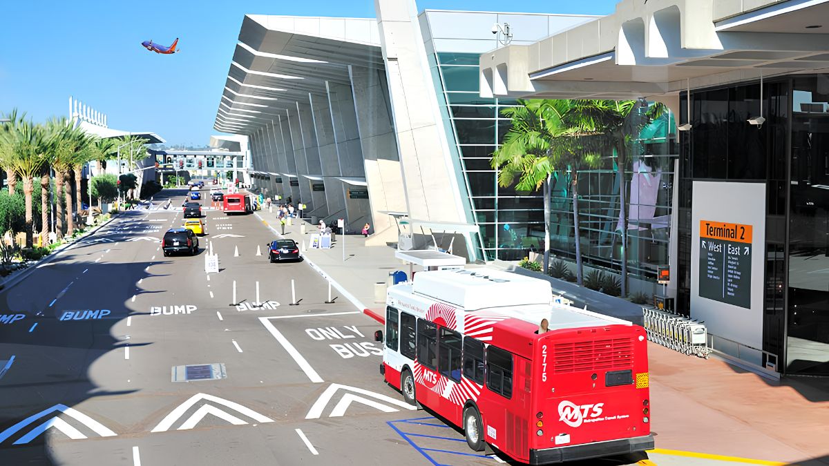
Downtown San Diego has a broader network of local bus services, providing connections to areas that are not directly served by the trolley. Depending on the route, buses can connect passengers with transit hubs, shopping streets, medical facilities, and other destinations.
Visitors should consider the complete journey rather than comparing only the main travel segment. For example, a trolley trip may be straightforward, but a destination several blocks or miles from the station could require a bus transfer. In another situation, a direct bus might offer a more convenient journey even if the total travel time is similar.
Before boarding, check the route number, destination, operating hours, and expected frequency. Some routes operate more frequently during busy periods, while others may have longer gaps between services.
The MTS trip-planning resources can help travelers identify available bus and trolley connections. Since routes and schedules can change, use current information instead of relying exclusively on an older printed map or a previous visit.
Driving
Driving provides flexibility for visitors who need to reach destinations outside the immediate walking distance of transit stations. It may also be practical for families, travelers carrying luggage, or people making several stops in different neighborhoods.
Interstate 5 is a major north-south route connecting San Ysidro, Chula Vista, and Downtown San Diego. Interstate 805 provides another important corridor through the region, although its usefulness depends on the specific starting point and destination.
The fastest driving route can vary by time of day. Morning and evening commuting periods may bring heavier traffic, while incidents, roadworks, special events, and border-related traffic can affect journey times.
Visitors should check current traffic conditions before leaving and allow additional time when attending an appointment, catching a train, or traveling to an event. A journey that appears short on a map may take longer when congestion or parking is included.
Parking is another important consideration. Downtown San Diego has paid parking facilities, garages, and some street parking, but availability and prices vary by location. Event venues and busy commercial districts may experience higher demand.
In Chula Vista, parking arrangements depend on the specific destination. Shopping centers may provide customer parking, while residential streets and commercial districts can have different restrictions.
For visitors planning to spend much of the day downtown, driving to a trolley station and continuing by rail may be worth considering. This approach can reduce the need to find parking at multiple destinations.
Transfers
Transfers are an important part of planning transportation between the three areas. A route may involve a trolley ride followed by a bus, a short walk, or a rideshare trip.
The best transfer point depends on the journey. San Ysidro Transit Center is a useful starting point for many northbound trips. Downtown transit stations can provide connections to other trolley services and bus routes. In Chula Vista, the choice of transfer depends on which neighborhood or destination the visitor needs to reach.
Before leaving, check whether a transfer requires changing platforms, crossing a street, or walking between separate stops. These details can be particularly important for visitors with mobility needs, young children, or luggage.
Travelers should also allow enough time for connections. A tightly planned itinerary can become difficult if the first service is delayed or the next bus operates less frequently.
For trips involving several stops, it can help to group destinations geographically. For example, visitors might look into downtown attractions together before traveling south to Chula Vista or San Ysidro, rather than repeatedly moving between areas.
Planning the order of visits can reduce backtracking and make better use of available transportation.
Costs
Transportation costs depend on the chosen mode, number of passengers, travel distance, parking requirements, and any transfers involved.
Public transportation can be economical for individual travelers, especially when the itinerary follows the trolley corridor. Driving may be more practical for groups or destinations that are difficult to reach by transit, but fuel, parking, and potential tolls on selected regional roads should be included in the overall budget.
Visitors should review current fares and ticket options before traveling. Fare rules, passes, and payment methods may differ by service, so it is useful to confirm whether a ticket covers the intended journey and any required transfers.
The table below provides a general comparison of transportation choices.
| Transportation Option | Main Advantage | Important Consideration |
|---|---|---|
| Trolley | Direct rail connection along the main corridor | Final destination may require a walk or transfer |
| Bus | Access to additional neighborhoods | Route frequency and journey time vary |
| Personal or rental car | Flexible departure times and multiple stops | Traffic and parking costs |
| Rideshare or taxi | Convenient for direct trips | Fares can change with demand and distance |
| Walking | Suitable for nearby destinations | Distance, weather, and pedestrian access |
These are general comparisons rather than fare quotations. Check official transit information and current driving conditions before deciding which option offers the best value.
Accessibility
Accessibility can affect the most suitable route, particularly for visitors with mobility limitations, strollers, luggage, or other specific travel requirements.
When planning a trolley journey, check station access, elevator availability where applicable, platform arrangements, and the walking distance to the destination. Bus accessibility features and boarding arrangements should also be confirmed when needed.
The condition of sidewalks and pedestrian crossings matters as much as the transit service itself. A station may be close to a destination geographically, but the walking route could involve busy roads, uneven surfaces, or crossings that require additional time.
Visitors traveling with children may prefer routes with fewer transfers and predictable walking distances. People carrying luggage may find a direct rideshare trip more convenient for a short journey between a station and a hotel, although the cost may be higher.
Travelers crossing the international border should also allow time for applicable border procedures. Transit travel time does not include the time required to complete immigration or customs formalities.
For current accessibility information and assistance, consult the relevant transportation provider before departure, particularly if a specific facility or service is essential to the trip.
Planning
A practical transportation plan begins with the exact starting point and destination rather than the names of the three areas alone. San Ysidro, Chula Vista, and Downtown San Diego each contain multiple neighborhoods, and the best route can change depending on the address.
First, identify the nearest trolley station or bus stop. Next, compare the estimated journey time, transfers, walking distance, and total cost. If driving, include likely traffic and parking time rather than considering only the time spent on the road.
Check service schedules on the day of travel, particularly for early departures, late returns, weekends, and public holidays. Leave additional time for airport connections, appointments, border crossings, and scheduled events.
Visitors who plan to use public transportation frequently may find it helpful to review ticket options before starting the first journey. Those combining transit with walking should also consider weather conditions and the distance between attractions.
The City of San Diego’s official website provides information about city services and local destinations. For broader regional travel information, the San Diego Tourism Authority offers visitor resources that may help with planning activities around the city.
The most effective transportation choice is the one that fits the full itinerary, not simply the first leg of the journey. By comparing routes and allowing reasonable time for connections, visitors can move between San Ysidro, Chula Vista, and Downtown San Diego with fewer unnecessary delays.



![Heavy traffic and long lines of cars waiting at the San Ysidro border crossing during a busy shopping rush[cite: 3].](https://sanysidrochamber.org/wp-content/uploads/2026/10/Getting-Around-San-Ysidro-During-Shopping-Rushes-and-Border-Delays-What-Travellers-Should-Plan-For.jpg)