San Ysidro, a community in southern San Diego, California, has developed around one of the most influential international boundaries in North America. Its location next to Tijuana, Mexico, has shaped how people travel, where businesses operate, how roads connect neighbourhoods, and how local services respond to changing community needs. Unlike many suburban areas that grow primarily around housing or employment centres, San Ysidro has evolved alongside an international border that affects everyday life.
The border has created opportunities for trade, shopping, employment, and cultural exchange, while also influencing transportation infrastructure, land use, and public planning. Its impact can be seen in the busy San Ysidro Port of Entry, nearby commercial areas, residential streets, and transportation connections linking the community with the wider San Diego region.
Knowing this relationship helps explain why San Ysidro looks and functions differently from many other neighbourhoods. Its urban development is not simply a story of population growth. It is also a story of international movement, government policy, regional economic connections, and the ongoing relationship between two neighbouring cities.
Geography
San Ysidro occupies a distinctive position at the southern end of San Diego, directly north of Tijuana. This location has made it an important gateway between the United States and Mexico for generations.
The international boundary creates a physical and administrative division, but the communities on both sides have longstanding economic, cultural, and family connections. People cross the border for work, shopping, education, medical appointments, tourism, and visits with relatives. These movements influence the demand for roads, transit, parking, retail services, and public facilities.
San Ysidro’s geography also affects how its streets connect with the surrounding region. Interstate 5 and Interstate 805 provide major road connections, while local streets accommodate residents, businesses, and travellers moving between the border area and other parts of San Diego.
However, the border does not affect every part of the community equally. Areas close to the crossing experience different transportation and commercial pressures from residential streets farther away. Understanding these local differences is important when examining development patterns.
For background on the region’s municipal geography and planning framework, the City of San Diego’s official website is a useful starting point.
History
The border’s influence on San Ysidro’s development has changed over time. Before modern international travel systems and major highway infrastructure transformed the region, the area had a more rural character, with agricultural land and relatively low-density settlement.
As San Diego and Tijuana expanded, the border crossing became increasingly important to regional movement. Roads, businesses, housing, and public services developed in response to the growing number of people travelling through the area.
The establishment and expansion of modern border inspection facilities changed the surrounding landscape. Commercial activity grew around the needs of travellers, while road improvements helped accommodate vehicles moving toward and away from the crossing.
Later decades brought additional suburban development across southern San Diego. San Ysidro became more closely connected to the wider metropolitan area through road networks, public transportation, and regional employment opportunities.
This history should not be understood as a simple progression from rural land to a busy border community. Development has occurred unevenly, influenced by property ownership, infrastructure investment, economic conditions, and changes in border management.
Historical maps, planning documents, and local archives can help researchers identify when specific roads, commercial districts, and residential areas emerged. They also reveal how the community’s relationship with the border changed as transportation systems and land uses evolved.
Trade
Cross-border trade and consumer activity have been important influences on San Ysidro’s commercial development. The movement of residents, visitors, and shoppers creates demand for restaurants, retail stores, personal services, fuel stations, and other businesses.
Some businesses benefit directly from customers travelling between the United States and Mexico. Others serve local residents whose daily routines are shaped by cross-border employment, family connections, or shopping patterns.
The result is a commercial environment that responds to more than the immediate neighbourhood population. Business owners may need to consider border wait times, vehicle access, pedestrian movement, currency differences, and fluctuations in international travel.
San Ysidro’s retail landscape has also changed as shopping habits and regional competition have evolved. Large commercial developments, smaller independent businesses, and service providers may experience different effects from changes in border traffic.
A busy border crossing can generate customer demand, but it does not guarantee that every nearby business will benefit equally. Traffic congestion, limited parking, construction, or longer inspection times may make some locations harder to reach.
For urban planners, the challenge is to support commercial activity while maintaining safe streets, accessible public spaces, and a good quality of life for people who live in the community year-round.
Transport
Transportation infrastructure is one of the clearest examples of the border’s influence on San Ysidro’s urban form. The community must accommodate both local travel and large volumes of international movement.
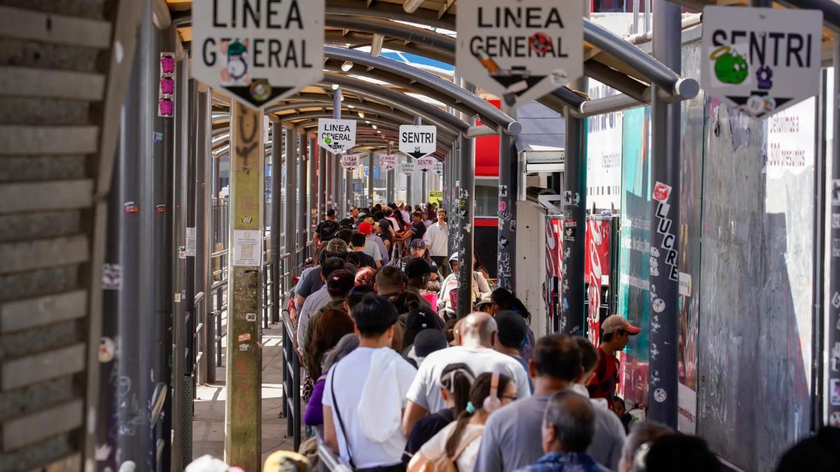
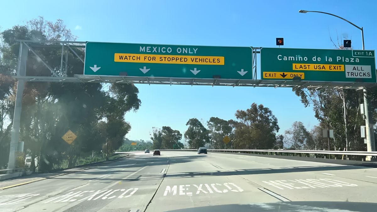
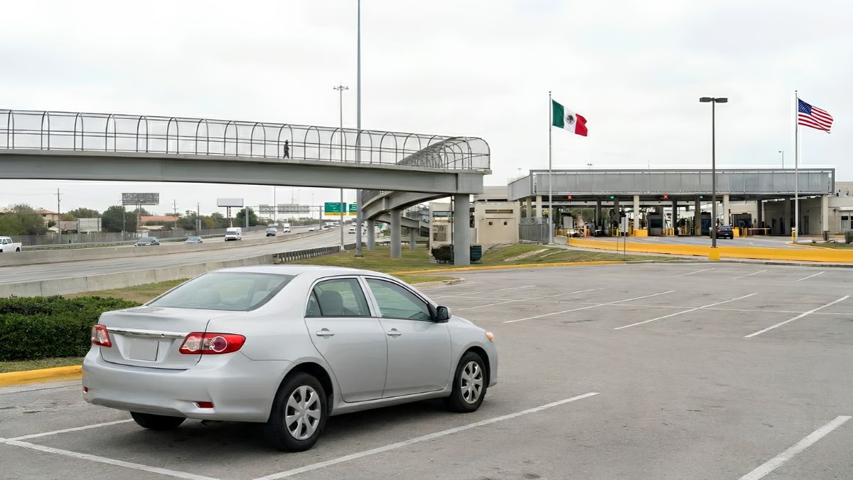
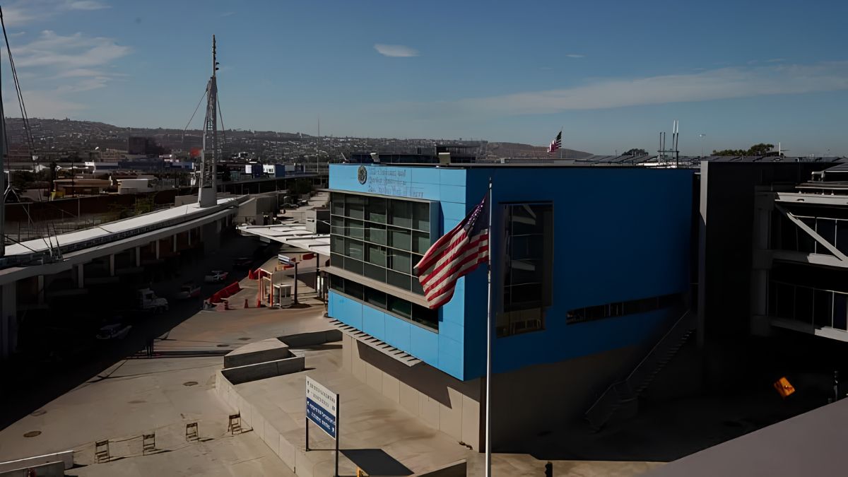
The San Ysidro Port of Entry is a major crossing between the United States and Mexico. Vehicle lanes, pedestrian facilities, inspection areas, approach roads, and supporting infrastructure shape how people move through the surrounding area.
Interstate 5 and Interstate 805 connect the border region with other parts of San Diego County. These highways support commuting, commercial travel, and access to regional destinations. At the same time, highway infrastructure can create barriers between nearby neighbourhoods or concentrate traffic along particular corridors.
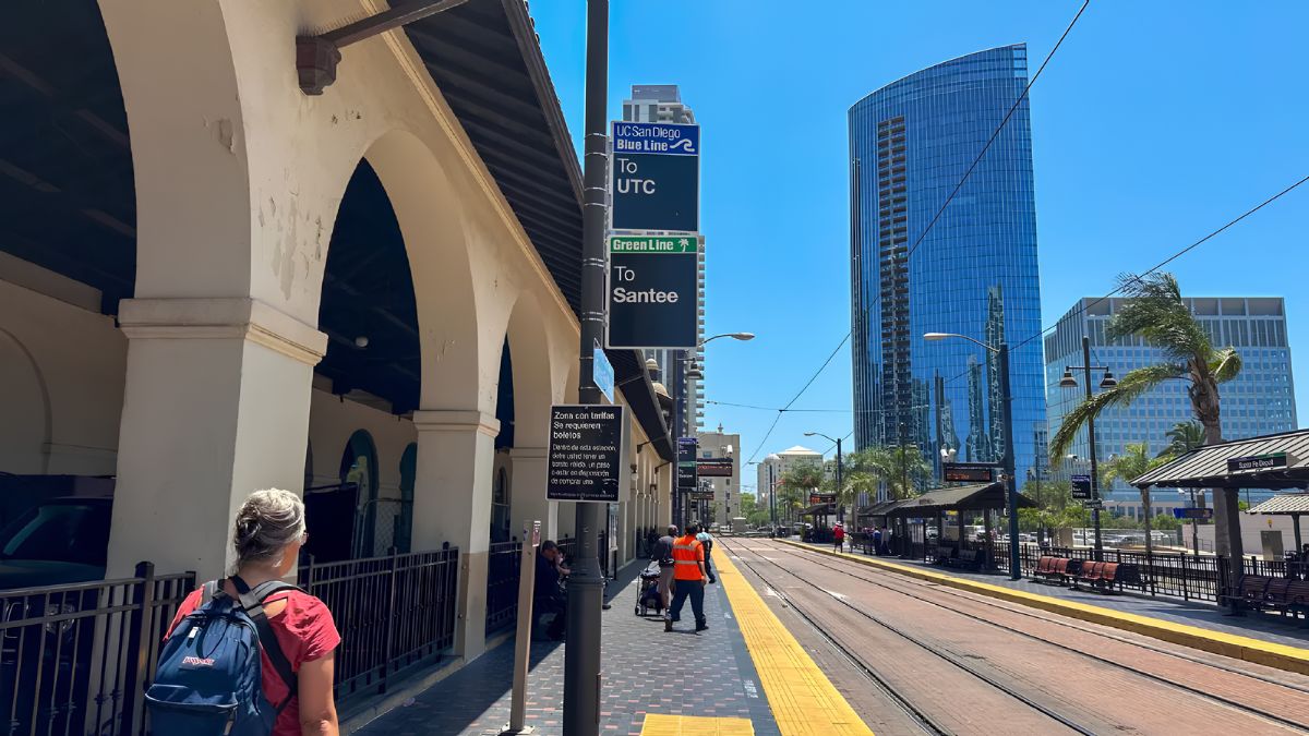
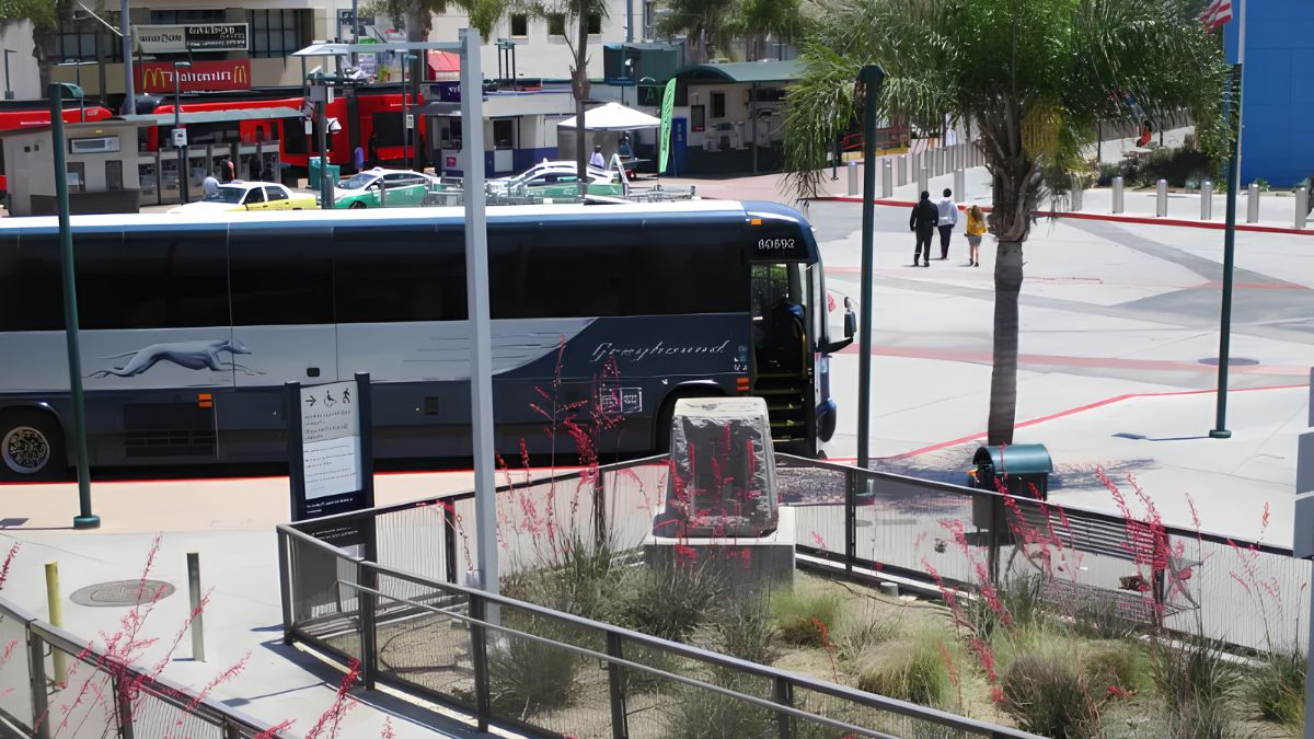
Public transportation offers another way to connect San Ysidro with the broader region. The San Diego Trolley’s Blue Line serves the area, linking the San Ysidro Transit Center with other destinations in the San Diego region. The transit centre is particularly important for people who want to continue their journeys without driving all the way to the border.
Official information about routes, stations, fares, and service changes is available from San Diego Metropolitan Transit System.
The relationship between transit and border activity has wider planning implications. Reliable connections can reduce dependence on private vehicles, improve access to employment, and help travellers reach the crossing. However, the effectiveness of these connections depends on service frequency, pedestrian access, safety, and convenient transfers.
Housing
The border’s influence on housing is more complicated than its impact on commercial areas. San Ysidro’s residential development reflects regional housing demand, access to employment, transportation connections, land availability, and local planning decisions.
Its location can make the community attractive to people who want access to both San Diego and Tijuana. Families may have work, education, or personal connections on either side of the boundary, while other residents choose the area because of its location within southern San Diego.
Housing demand is also affected by broader regional conditions, including affordability, mortgage costs, rental prices, and the availability of homes in neighbouring communities. The border is one influence among several rather than the sole explanation for housing patterns.
Transportation infrastructure can affect residential desirability in different ways. Easy access to highways and transit may be an advantage, but traffic noise, congestion, and limited pedestrian connectivity can create challenges for nearby households.
Planning decisions therefore need to balance regional accessibility with neighbourhood needs. Housing growth may require additional investment in sidewalks, parks, schools, drainage, and other public facilities.
When researching a particular housing development, examine zoning records, planning documents, and historical aerial photographs. These sources can help distinguish changes caused by border-related activity from those resulting from broader metropolitan growth.
Community
San Ysidro’s proximity to Tijuana has helped shape its cultural and social character. Cross-border family relationships, language, food, traditions, and business connections contribute to the area’s identity.
For many residents, the border is not simply a line on a map. It is part of their everyday experience, influencing travel plans, work schedules, shopping decisions, and visits with relatives. This makes the local relationship with the border more complex than a purely economic or transportation issue.
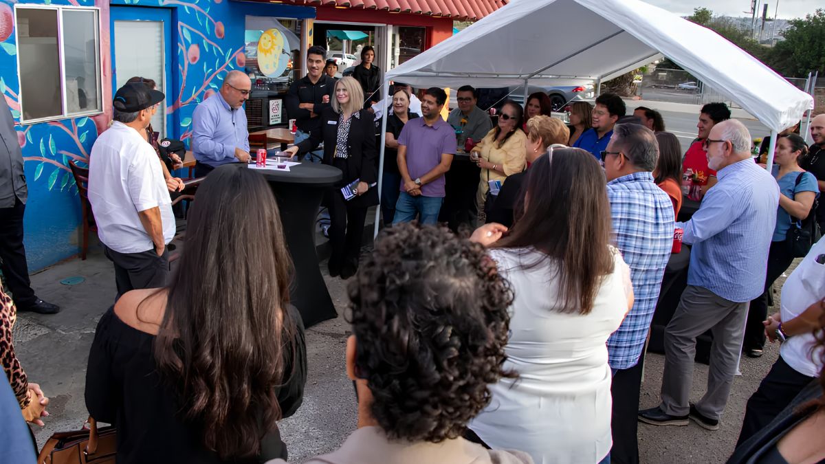
Community organisations, schools, libraries, and local businesses all play roles in supporting residents whose needs may differ according to age, employment, language, and mobility.
The international boundary can also create practical challenges. Changes in crossing procedures or travel times may affect how people coordinate work, family responsibilities, and appointments. Residents who cross regularly may experience these changes differently from visitors who cross occasionally.
Urban planning must recognise these everyday realities. Improvements to sidewalks, public spaces, transit connections, and community facilities can help make the area more accessible for residents who are not simply passing through.
Community participation is particularly valuable when public agencies consider new infrastructure or land-use changes. Residents can identify problems that may not be obvious in traffic studies or regional development plans, such as difficult pedestrian crossings, inadequate shade, or conflicts between local streets and commercial traffic.
Planning
Planning in San Ysidro requires coordination between local land-use goals and the wider transportation and border systems. A road improvement or commercial project may affect not only nearby residents but also people travelling to the port of entry.
Local planning documents can provide information about zoning, housing, public facilities, transportation corridors, and proposed development. These records help explain why certain areas contain commercial uses while others remain primarily residential.
The City of San Diego’s planning resources are useful for researching community plans and development proposals. When examining a project, check whether it is proposed, approved, under construction, or already completed. These stages are different, and an announcement does not necessarily mean that a development will proceed as originally described.
Environmental considerations are also important. Traffic congestion can contribute to local air-quality concerns, while extensive paved areas can affect stormwater runoff and the amount of space available for trees and landscaping.
Planning efforts may seek to improve pedestrian safety, strengthen public transportation, encourage appropriate commercial development, and protect residential quality of life. However, different objectives can conflict. For example, expanding road capacity may improve vehicle movement but require land that could otherwise support housing, businesses, or public spaces.
Successful planning depends on evaluating these trade-offs and consulting the people who live and work in the area.
Challenges
The border creates economic opportunities, but it also introduces uncertainty into local development. Changes in inspection procedures, crossing demand, trade conditions, and international travel can affect how people and businesses use the surrounding area.
Congestion is one visible challenge. Heavy traffic near border facilities can affect local streets, delivery schedules, public transportation, and pedestrian movement. The effects depend on the time of day, crossing conditions, road design, and the destination of travellers.
Another challenge is ensuring that infrastructure investments benefit residents as well as people passing through the community. A transportation project may improve regional mobility while creating construction disruption or changing access to nearby businesses.
Environmental conditions also require attention. Vehicle emissions, noise, heat, and stormwater management can affect the comfort and health of nearby neighbourhoods. Public investment in shade, landscaping, safe walking routes, and better transportation options can help address some of these concerns.
Economic changes can affect businesses differently. A store dependent on international shoppers may face different pressures from a business serving nearby households. Diversifying commercial activity and maintaining strong local connections can help businesses respond to changing conditions.
These challenges show why San Ysidro’s development cannot be understood through border traffic alone. Housing policy, public services, environmental planning, and local economic conditions all influence how the community changes.
Future
San Ysidro’s future development will likely continue to reflect the relationship between local neighbourhood needs and regional cross-border movement. Transportation improvements, housing demand, commercial investment, and changes in border operations will all help shape the area’s evolution.
Public transportation and pedestrian infrastructure may become increasingly important as planners look for ways to improve access while managing vehicle congestion. Better connections between residential areas, commercial destinations, and transit facilities can support residents and visitors alike.
Future housing and commercial projects will also need to consider infrastructure capacity. Roads, utilities, parks, schools, and drainage systems must support development without placing excessive pressure on existing neighbourhoods.
Economic resilience is another important consideration. Businesses that serve both local residents and cross-border customers may benefit from a diverse customer base, while community organisations can help residents access services and information as conditions change.
The best way to follow these developments is to consult official planning agendas, community plan updates, transportation announcements, and public meeting records. These sources help distinguish confirmed projects from early proposals and provide insight into the reasoning behind public decisions.
San Ysidro’s urban development demonstrates how an international border can shape an entire community without determining every aspect of its growth. The border has influenced transportation, commerce, housing, and cultural connections, while local planning and regional economic conditions have also played essential roles.
Knowing these overlapping influences helps explain both the opportunities and challenges facing the area. As San Ysidro continues to evolve, its long-term success will depend on balancing the needs of residents, businesses, travellers, and the wider cross-border region.
FAQs
How has the border influenced San Ysidro?
It has shaped transportation, commerce, housing, and community connections.
Which highways connect San Ysidro to San Diego?
Interstate 5 and Interstate 805 are major regional connections.
Does public transit serve San Ysidro?
Yes, the San Diego Trolley Blue Line serves the area.
Where can I find local planning information?
Start with the City of San Diego’s official planning resources.
Why is San Ysidro important for cross-border travel?
It contains a major land port of entry between the United States and Mexico.