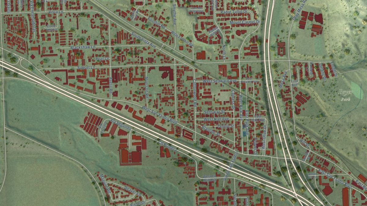
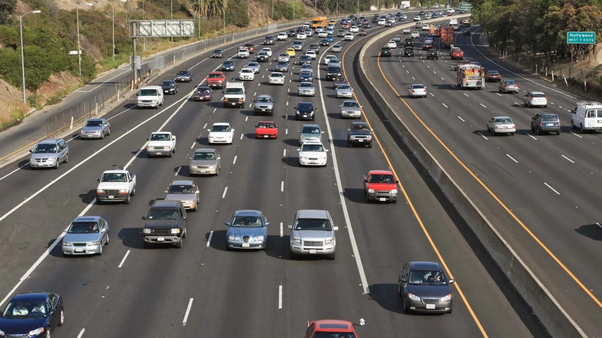
San Ysidro’s transportation history offers a useful way to understand how the community developed, how people moved across the U.S.-Mexico border, and why certain commercial areas grew where they did. Railways, highways, border crossings, and major road connections have all influenced how residents travel, where businesses operate, and how the neighborhood connects with the wider San Diego region.
Investigating this history does not require an academic background or access to expensive research tools. Historical maps, archived aerial photographs, transportation agency records, old newspapers, and government planning documents can help reconstruct how the area changed over time. By comparing these sources, researchers can identify when major transportation routes appeared, how they altered the surrounding landscape, and what those changes meant for local residents.
The most reliable approach is to combine historical evidence with present-day geography. A road visible on an old map may have been relocated, widened, or replaced, while a railway corridor may have changed function over several decades. Knowing these details helps create a more accurate account of San Ysidro’s transportation heritage.
Origins
Begin by establishing a basic timeline of San Ysidro’s development. Before investigating individual highways or railway lines, identify the area’s early settlement patterns, border connections, and relationship with the broader San Diego region.
San Ysidro’s position near the international boundary makes transportation history especially important. Roads and border facilities have supported passenger travel, commerce, tourism, and cross-border movement. Meanwhile, regional transportation connections have linked the community with central San Diego, nearby neighborhoods, and destinations farther north.
Start with a few research questions:
- Which transportation routes existed before modern freeways were built?
- When did major roads and border facilities change?
- How did railway development influence regional connections?
- Which areas experienced changes after new roads or crossings opened?
- How did transportation projects affect nearby homes and businesses?
These questions provide a framework for organizing the investigation. Rather than attempting to document every road at once, select one route or period and expand the research as evidence becomes available.
Railways
Railway research can reveal how San Ysidro and the surrounding region connected with wider transportation networks before the modern freeway system became dominant.
One important distinction is between railways that served the San Diego region historically and railway infrastructure that directly served San Ysidro. Researchers should verify the route, dates, and purpose of each line instead of assuming that a regional railway passed through the neighborhood.
Historical railroad maps, timetables, engineering plans, and company records can help establish where tracks ran and whether they carried passengers, freight, or both. Local newspaper archives may also contain announcements about new services, station changes, construction work, or discontinued routes.
Useful starting points include the San Diego History Center and the San Diego Model Railroad Museum, which can help researchers look into regional transportation history and identify relevant historical material.
When studying a railway, record its route, operating dates, nearby stations, and relationship to other transport facilities. If a railway no longer operates, compare historical maps with current maps to determine whether the corridor remains visible or has been redeveloped.
Freeways
Freeway development is another major subject for knowing San Ysidro’s changing landscape. Interstate 5 is a particularly relevant corridor because it connects the area with the wider San Diego region and approaches the international border.
To investigate its history, search for highway construction records, route maps, engineering drawings, environmental documents, and transportation plans. These sources can help establish when particular sections were planned, constructed, widened, or redesigned.
The California Department of Transportation (Caltrans) is a useful official starting point. Its district resources and transportation planning documents may provide information about highway projects in the San Diego area. Researchers should check the publication dates and geographic coverage of each document because a modern project report may discuss only a specific section of a much older route.
Interstate 5 should not be studied in isolation. Researchers can also examine Interstate 805 and important connecting roads to understand how regional traffic was distributed and how access to San Ysidro changed over time.
For each project, try to establish four dates where possible:
- When the project was proposed.
- When planning or environmental review took place.
- When construction began.
- When the road or improved section opened to traffic.
These dates may differ considerably. A proposed project is not proof that construction occurred, and an opening date for one segment should not automatically be applied to the entire highway.
Border
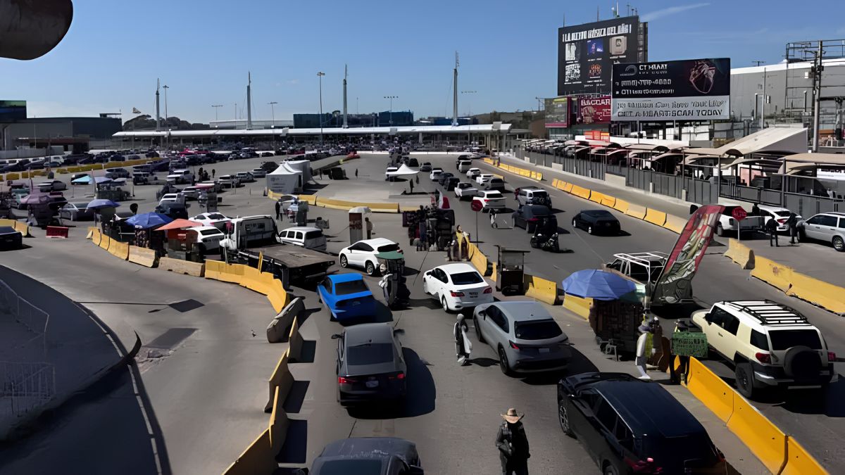
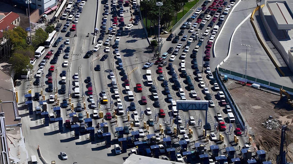
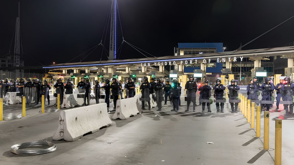
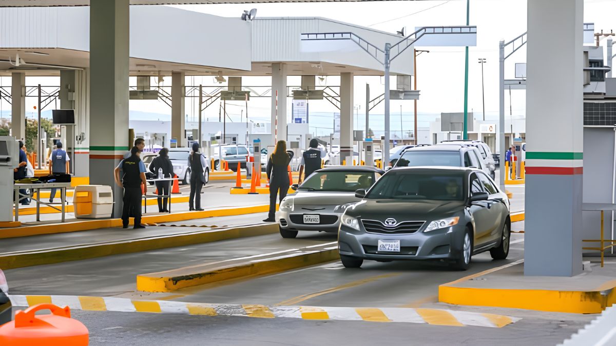
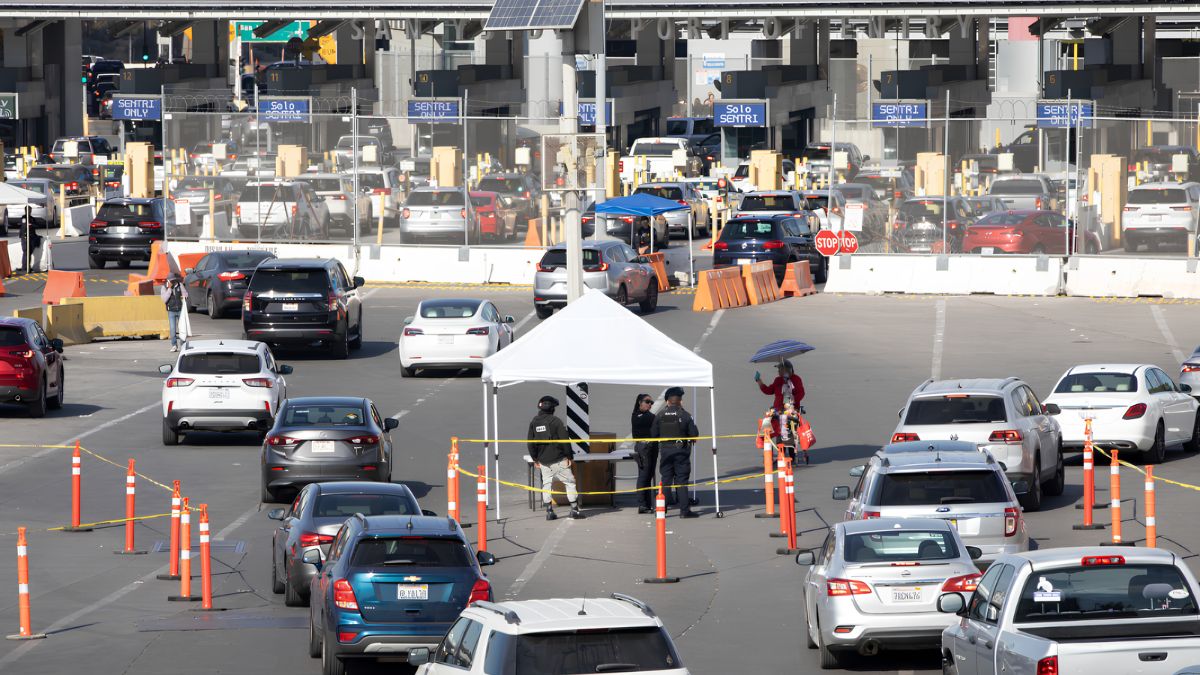
The San Ysidro Port of Entry is central to the area’s transportation story. Border infrastructure affects more than international travel: it influences traffic patterns, commercial activity, pedestrian movement, public transportation connections, and the organization of nearby streets.
The U.S. General Services Administration provides information about federal buildings and projects, while U.S. Customs and Border Protection publishes information about ports of entry and border operations. These agencies are useful starting points for researching inspection facilities, modernization projects, and changes in border infrastructure.
Search for records using terms such as San Ysidro Land Port of Entry, border crossing modernization, and port of entry expansion. Older documents may use different project names, so vary the wording and date range.
Compare records from different periods to determine how vehicle lanes, pedestrian facilities, inspection buildings, and connecting roads changed. Aerial photographs can help show the physical footprint of these projects, while official documents explain their purpose and scope.
It is important to distinguish between the history of the border crossing itself and the history of nearby transportation infrastructure. A new inspection facility may influence surrounding roads without necessarily marking the construction date of those roads.
Maps
Historical maps provide a geographic foundation for the investigation. They can show earlier road alignments, railway corridors, land boundaries, settlement patterns, and connections that are difficult to recognize in present-day street layouts.
The Library of Congress Maps collection offers access to historical maps from many periods. The USGS Historical Topographic Map Collection is another useful resource for locating older topographic maps that depict roads, railways, terrain, and built-up areas.
For San Ysidro, collect maps from several different dates rather than relying on a single historical sheet. Look for changes in:
- Road alignments and intersections.
- Railway lines and transportation corridors.
- Residential and commercial development.
- Border facilities and nearby access roads.
- Bridges, drainage crossings, and other supporting infrastructure.
A map’s publication date does not always match the date when its information was collected. Read the map notes and survey dates where available. This distinction matters when establishing exactly when a road or structure first appeared.
Aerials
Archived aerial photographs are especially helpful for documenting physical change. Unlike maps, which simplify geographic features, aerial images can reveal the footprint of roads, buildings, parking areas, railway corridors, and construction sites.
The USGS EarthExplorer is a useful tool for discovering historical aerial imagery and other geographic datasets. Availability depends on the location, image date, and dataset. Researchers can also investigate regional aerial-photo collections through local historical institutions and public archives.
To compare photographs effectively, select images from several dates that cover the same area. Look for visible changes such as a new freeway interchange, a widened road, a relocated access route, or the replacement of open land with commercial development.
Be cautious when interpreting aerial photographs. A cleared strip might indicate road construction, utility work, or another project. Confirm major conclusions using maps, government documents, or contemporary news reports.
Archives
Local archives can fill gaps that maps and photographs leave behind. Newspapers, planning reports, council records, construction notices, and historical photographs may explain why a transportation project was proposed and how it affected the surrounding community.
The San Diego History Center is a useful starting point for local historical collections. Researchers may also explore the San Diego Public Library for local history resources and historical newspaper access.
Search using multiple terms rather than relying only on the phrase “San Ysidro transportation history.” For example, try combinations of the neighborhood’s name with highway construction, railroad, border crossing, road widening, traffic study, or the name of a particular route.
When you locate a useful document, record its title, author or agency, publication date, page number, archive name, and digital link. These details make it easier to verify findings and return to the original source later.
Comparison
The strongest research combines several types of evidence. Each source answers a different question: maps show location, aerial photographs reveal physical change, and written records often explain dates, decisions, and intended outcomes.
A simple comparison table can keep the investigation organized.
| Source | What it can establish | Main limitation |
|---|---|---|
| Historical maps | Earlier routes and geographic relationships | May simplify details or use outdated information |
| Aerial photographs | Physical changes in land and infrastructure | May not explain why changes occurred |
| Agency reports | Project scope, planning, and construction details | Can be technical or limited to one project |
| Newspapers | Contemporary reactions and announcements | May contain incomplete or conflicting accounts |
| Oral histories | Residents’ experiences and local knowledge | Memories may differ on dates and details |
For example, an aerial image might show that a road became wider between two recorded dates. A Caltrans report could identify a widening project, while a newspaper article might provide additional context about construction disruptions. Together, these sources provide a stronger explanation than any single item.
Timeline
Once enough evidence has been gathered, build a chronological record. Include the event, date, source, geographic location, and confidence level for each entry.
A basic timeline might use categories such as early regional transport, road expansion, freeway development, border facility modernization, and recent transportation projects. Leave dates unconfirmed when the evidence is incomplete rather than filling gaps with assumptions.
A spreadsheet can make this process straightforward. Useful columns include:
- Date or date range.
- Infrastructure type.
- Project or route name.
- Location.
- Description of the change.
- Supporting source.
- Research notes and uncertainties.
Keep a separate record of conflicting dates. For example, one document might describe the approval of a project while another records the beginning of construction. Both may be accurate because they refer to different stages.
Community
Transportation infrastructure is not only an engineering story. It also shapes daily experiences, including access to shops, travel times, neighborhood connections, and the use of public space.
Oral histories can add this human dimension. Long-term residents, former workers, business owners, and community historians may remember how streets looked before redevelopment, how traffic patterns changed, or how construction affected nearby businesses.
When conducting interviews, ask open-ended questions and obtain permission before recording or publishing personal stories. Clearly distinguish personal recollections from independently verified dates and project details. If an interviewee remembers a road opening during a particular decade, use official records to narrow down the date when possible.
A community-focused investigation should also consider how transportation projects affected different groups. New infrastructure can improve access while creating barriers, noise, construction disruption, or changes to local commercial activity. The evidence may reveal different experiences, so avoid assuming that every project benefited or harmed all residents in the same way.
Findings
A well-documented study of San Ysidro’s transportation history can be built with a modest set of reliable sources and a clear research method. Start with a specific question, find historical maps and aerial photographs, confirm major events through official records, and use newspaper archives or oral histories to add context.
The most important habit is to verify each major claim against the original evidence. Keep dates precise, distinguish proposals from completed projects, and record uncertainty wherever the sources disagree. Over time, these steps can produce a useful local history showing how railways, freeways, border facilities, and connecting roads helped shape San Ysidro’s physical landscape and its relationship with the wider region.
FAQs
Where can I find historical maps of San Ysidro?
Start with the Library of Congress and the USGS historical map collection.
How can I research Interstate 5 construction?
Check Caltrans records, highway plans, and dated newspaper reports.
Where can I find old aerial photographs?
Search USGS EarthExplorer and regional historical collections.
How can I verify a transportation project’s date?
Compare official reports, maps, newspapers, and aerial photographs.
Why are oral histories useful?
They document residents’ experiences and help explain local changes.