San Ysidro can look different depending on when you visit and what part of the community you explore. Streets, businesses, homes, transportation routes, public spaces, and commercial districts all tell pieces of the story. But knowing how the neighborhood changed requires more than looking at what is visible today.
Historical sources can fill in the gaps.
Old photographs, maps, newspapers, census records, city documents, business directories, planning records, oral histories, and archival collections can help explain how San Ysidro developed and how daily life changed over time. Used together, these sources turn familiar streets into evidence of a much longer story.
For anyone interested in local history, the challenge is not simply finding old information. It is learning how to compare the past with the present without losing the context behind those changes.
Origins
San Ysidro’s history is closely connected to its location near the international border.
The community developed within a larger regional landscape shaped by agriculture, transportation, migration, trade, and the growth of San Diego County. Its proximity to Mexico has also influenced commerce, culture, language, and everyday movement for generations.
That location makes San Ysidro different from many neighborhoods farther north. The border is not simply a line on a map. It has influenced how businesses operate, how people travel, and how residents experience the community.
To understand today’s San Ysidro, start by looking at the forces that shaped the area before the modern neighborhood took its current form.
Maps
Old maps are among the most useful tools for comparing San Ysidro across time.
A historical map can show roads, rail lines, property boundaries, waterways, agricultural areas, and settlement patterns that may be difficult to recognize today.
Compare an older map with a current street map and ask simple questions.
Which roads survived? Which disappeared? Where did development expand? Which areas remained open? Did transportation routes influence where businesses and homes appeared?
The Library of Congress and other public collections offer digitized historical maps that can help researchers establish broader regional context.
Maps are especially useful because they show physical change without relying entirely on written descriptions.
Photos
Historical photographs provide another perspective.
A photograph of a San Ysidro street can reveal much more than the people standing in front of the camera. Look at storefronts, signs, road surfaces, vehicles, utility poles, sidewalks, building materials, advertisements, and surrounding open space.
Then compare those details with the same location today.
An old photograph may show a business that no longer exists or a building that has been remodeled. A seemingly ordinary street corner can become a useful historical reference point when you know what stood there decades ago.
When using photographs, always record the date, location, photographer if known, and source. Without that information, an image can quickly lose much of its research value.
Newspapers
Newspapers can help explain why changes happened.
A photograph may show that a business disappeared, but a newspaper article might explain that the property was sold, a road was redesigned, or a new development was proposed.
Local reporting can also reveal what residents were discussing at the time.
Search for stories about transportation, businesses, schools, housing, public safety, community events, development proposals, and border activity. Repeated coverage can show how a particular issue evolved.
Newspaper archives should be read carefully, however. A newspaper reflects the perspective and priorities of its time. Comparing several sources can provide a more balanced picture.
Records
Government records can provide another layer of evidence.
Planning documents, zoning records, property information, transportation studies, meeting minutes, and public reports may show when major changes were proposed or implemented.
The City of San Diego’s official website is a useful starting point for current municipal information and public records:
For historical research, the San Diego Public Library also provides access to local-history resources and collections:
https://www.sandiego.gov/public-library
These sources can help connect visible neighborhood changes with decisions made by public agencies.
Businesses
Businesses can be excellent markers of neighborhood change.
Look at historic advertisements, business directories, newspaper listings, storefront photographs, and local memories. Which businesses stayed for decades? Which types of stores disappeared? Did new businesses emerge as customer patterns changed?
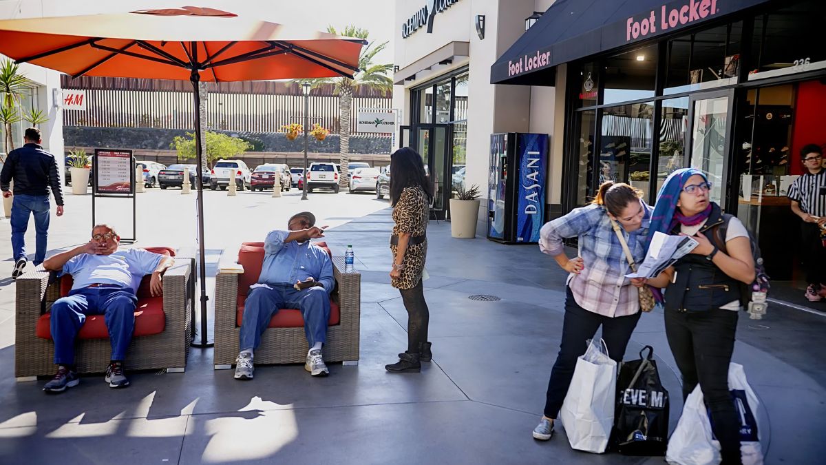
San Ysidro’s commercial environment has long been influenced by its border location. Cross-border visitors, residents, workers, and travelers can all affect demand.
A business directory can therefore become more than a list of names. It can provide a snapshot of what people bought, where they worked, and which services were available at a particular point in time.
Transportation
Transportation often explains neighborhood change better than a simple description of buildings.
Roads and transit routes influence where people live, shop, work, and gather. Changes in traffic patterns can also alter the fortunes of businesses.
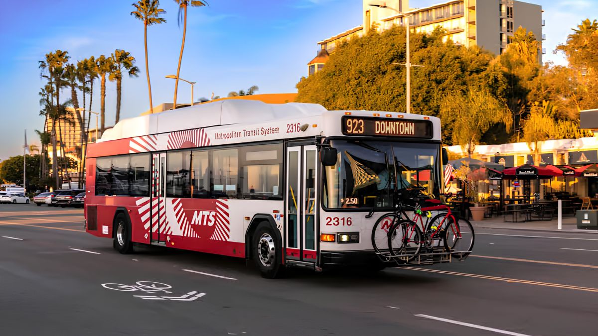
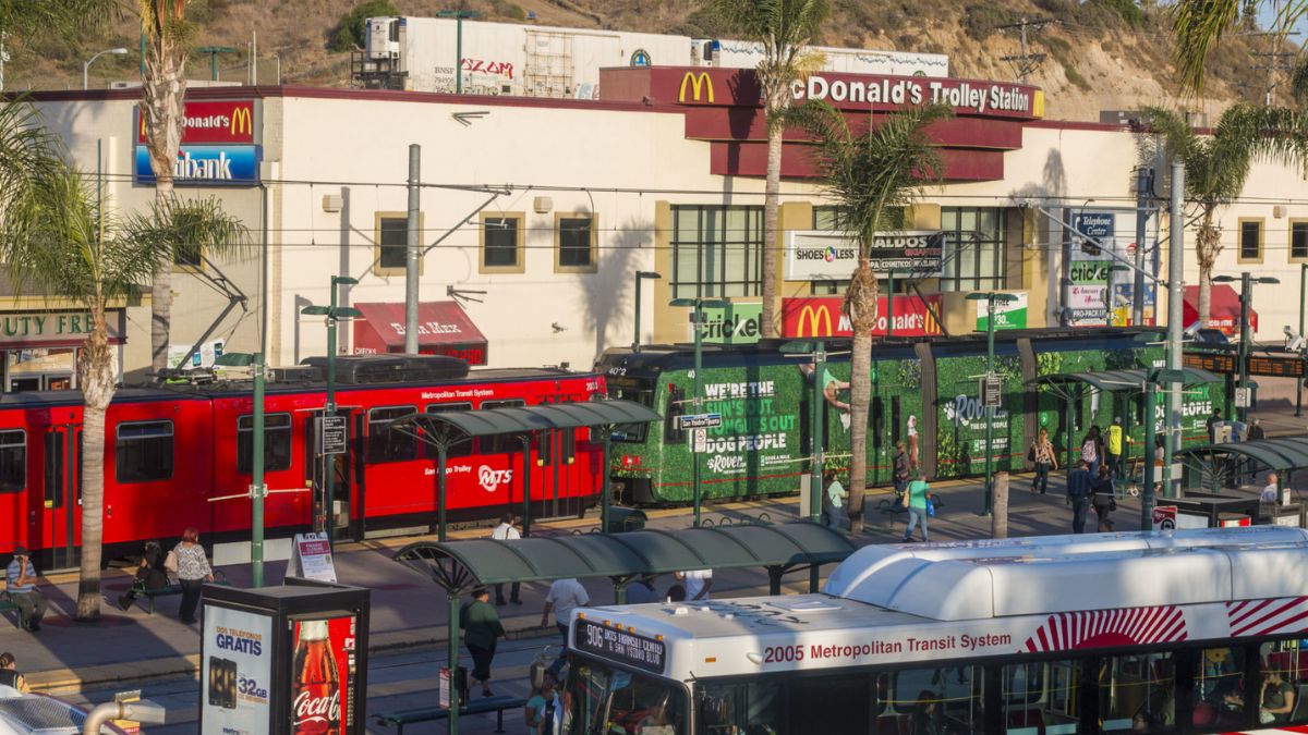
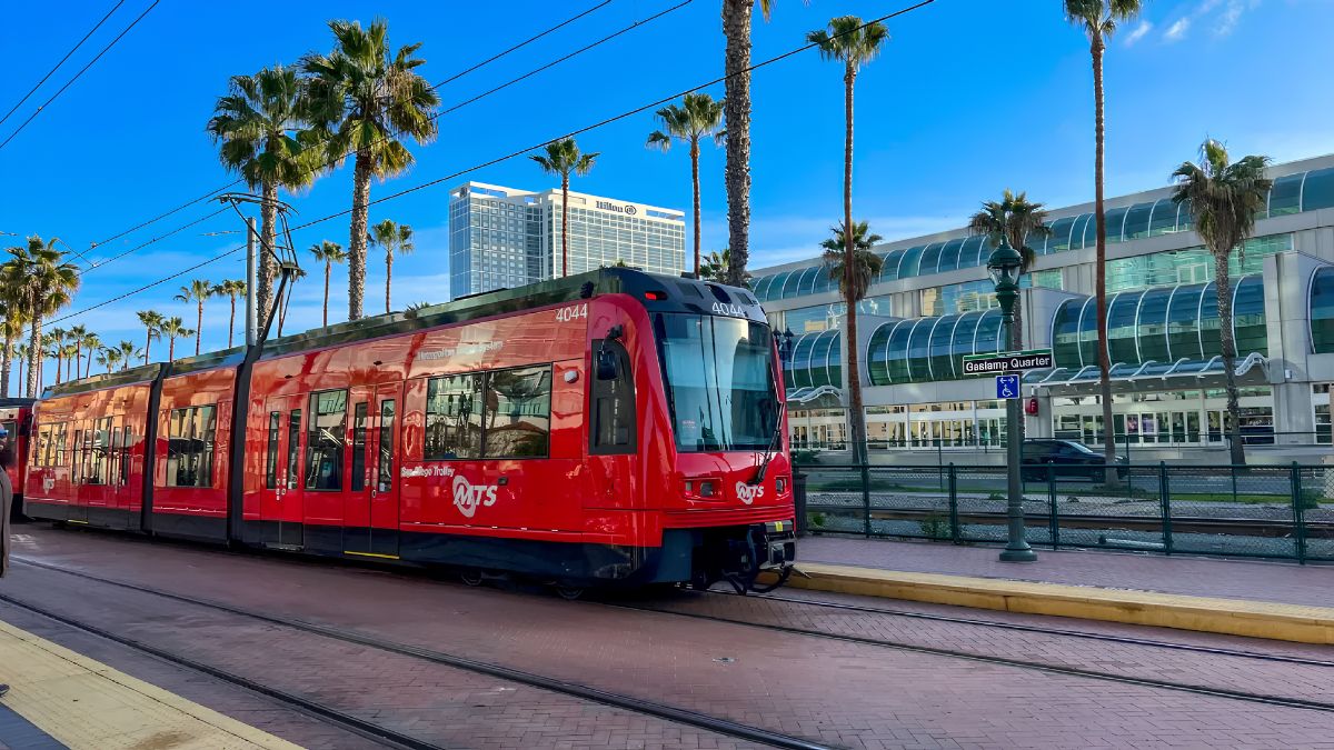
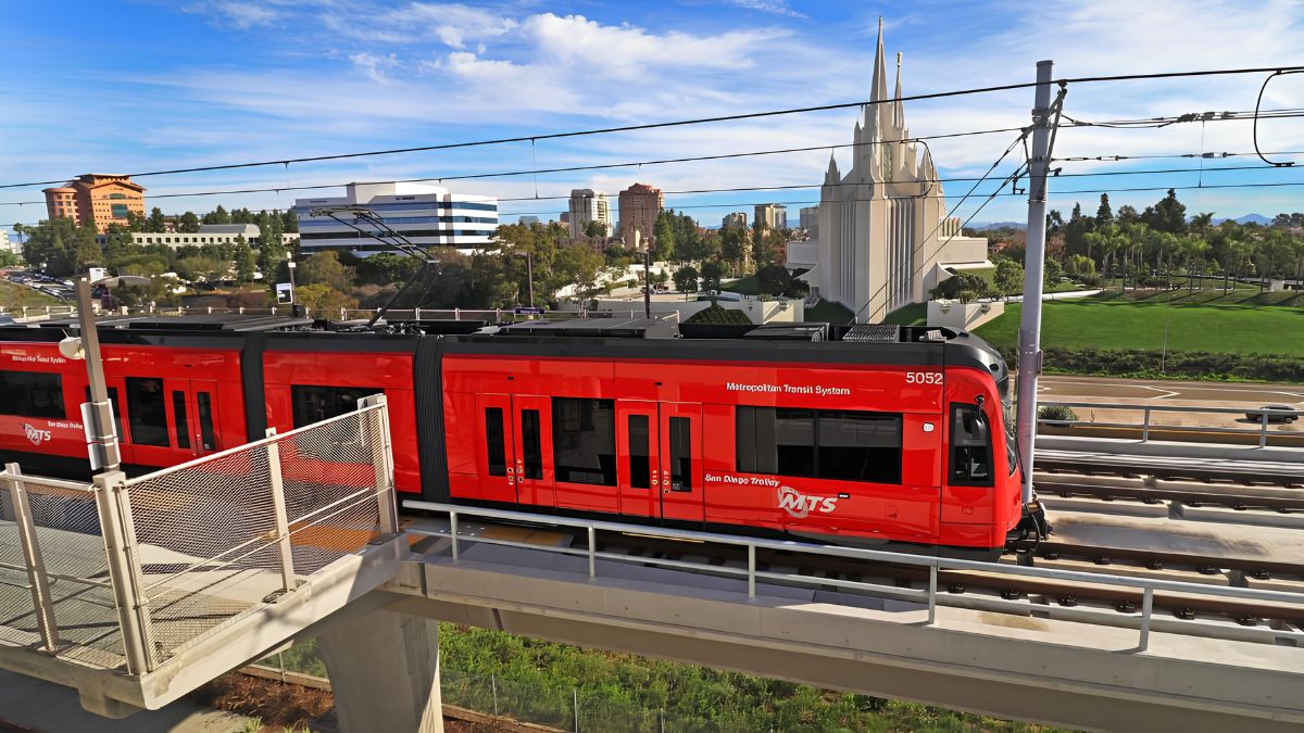
San Ysidro’s relationship with the San Diego Trolley is particularly important when examining modern transportation. The San Diego Metropolitan Transit System provides current information about routes and services:
When comparing past and present, ask how people traveled through the community at different times. Did they walk, drive, use buses, use rail, or cross the international border for particular activities?
Transportation history can reveal why certain streets became busy commercial areas while others remained quieter.
Border
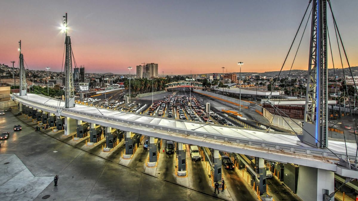
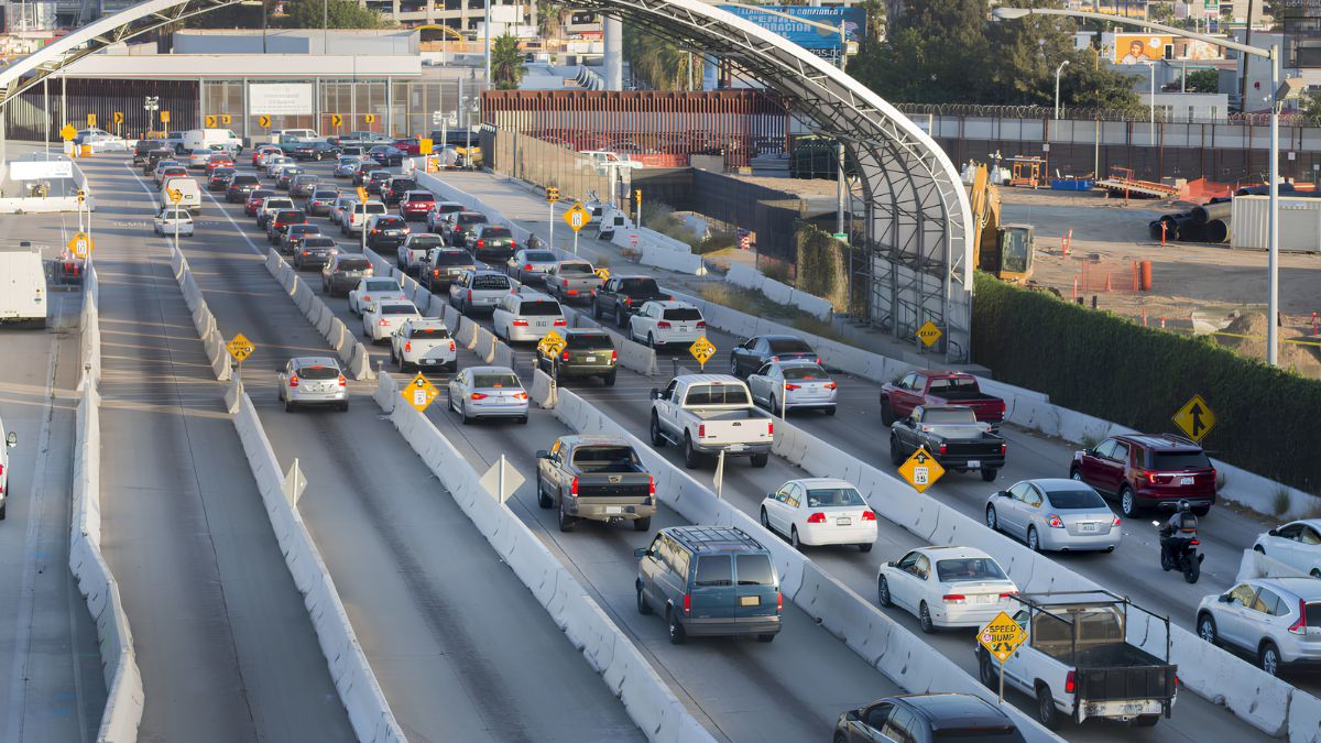
The international border is essential to understanding San Ysidro’s development.
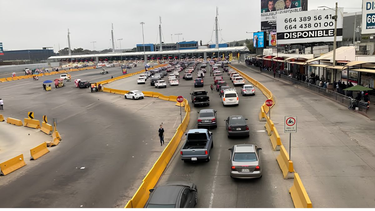
Border policies, crossing procedures, transportation infrastructure, security practices, and international travel patterns can change how people move through the community.
Those changes can affect businesses and public spaces far beyond the immediate port of entry.
Historical research should therefore include sources that document border activity and transportation. U.S. Customs and Border Protection provides current information about the San Ysidro Port of Entry and broader border operations:
Historical sources can then be used to place today’s border environment within a longer timeline.
Residents
Buildings tell only part of the story.
Changes in San Ysidro also involve the people who have lived, worked, studied, and operated businesses in the community.
Census records and demographic data can help researchers examine population changes over time. Oral histories add something that statistics cannot: personal experience.
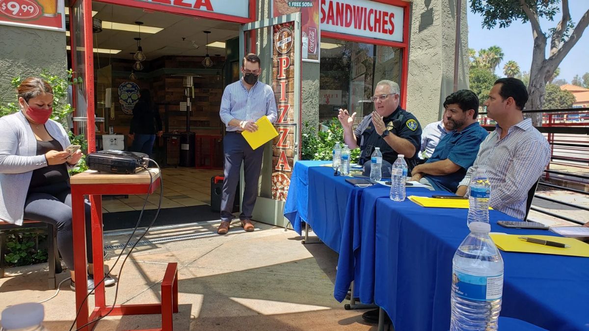
Ask longtime residents what they remember about shopping areas, schools, public spaces, transportation, celebrations, and neighborhood relationships.
One person’s memory should not be treated as the complete historical record. But when several accounts point toward similar changes, they can provide valuable context for documentary research.
Architecture
Look closely at buildings.
A structure’s age, design, additions, renovations, and surrounding landscape can reveal how the neighborhood evolved.
An older commercial building may have served several different businesses over the years. A house may have been expanded as household needs changed. A vacant lot may once have held a structure that disappeared decades ago.
Historic photographs are particularly useful here. Try matching architectural details across different periods rather than relying only on street names.
Schools
Schools can serve as important historical anchors.
A school may remain in roughly the same location while its surrounding neighborhood changes dramatically. Enrollment, buildings, transportation, community programs, and nearby development can all tell part of the story.
School yearbooks, photographs, newspapers, district records, and alumni memories can help reconstruct everyday experiences that official planning documents may overlook.
The San Ysidro School District provides a useful starting point for information about the area’s schools:
Historical school records may require additional research through libraries, archives, or the district itself.
Archives
Good historical research usually comes from combining sources rather than relying on one.
The San Diego History Center is another valuable resource for exploring the region’s past, including photographs, documents, and other historical materials.
Libraries and university collections may also contain maps, newspapers, photographs, manuscripts, and specialized local-history materials.
If you find an interesting document online, record its original source. Digital copies can be moved, renamed, or presented without their original context.
Comparison
A useful way to study neighborhood change is to create a simple then-and-now comparison.
| Subject | Historical Source | Current Question |
|---|---|---|
| Streets | Old maps | What changed? |
| Businesses | Directories | Which businesses survived? |
| Buildings | Photos | What remains? |
| Transportation | Transit records | How do people travel now? |
| Population | Census data | How has the community changed? |
| Schools | Yearbooks | What changed around them? |
| Border | Government records | How has crossing activity evolved? |
This approach keeps the research organized and prevents the project from becoming a collection of unrelated facts.
Context
Not every change should be described as improvement or decline.
A new building may represent investment while also replacing something residents valued. A road redesign may improve traffic movement but change pedestrian access. A business district can become more active while older businesses disappear.
Neighborhood history is rarely a straight line.
The goal is to understand what changed, when it changed, and why. Then and now should be compared carefully rather than treating one period as automatically better than another.
Research
Start with one small question.
Instead of trying to document the entire history of San Ysidro, choose a street, business district, building, school, transportation route, or public space.
Find an old photograph or map. Locate the same place today. Search newspapers for references to it. Check government or library records. Then, if possible, speak with someone who remembers the area.
That small investigation can lead to a much larger understanding.
Historical research is a bit like assembling a puzzle. One photograph gives you a corner, a newspaper provides another piece, a map shows the structure, and an oral history adds the human perspective. No single source has to tell the entire story.
San Ysidro’s past remains visible in its streets, buildings, businesses, transportation routes, and community memories. By comparing historical sources with what exists today, readers can see that neighborhood change is not simply about old places disappearing and new ones appearing. It is a continuing process shaped by residents, businesses, transportation, the border, public decisions, and broader regional trends. The more carefully those sources are compared, the clearer the story becomes.
FAQs
Where can I find San Ysidro history?
Try libraries, archives, newspapers, maps, and local history groups.
Why are historical maps useful?
They show how roads, buildings, and land use changed over time.
Can old photos show neighborhood change?
Yes, photos reveal changes in buildings, streets, signs, and businesses.
Are oral histories useful?
Yes, they add personal experiences that documents may not capture.
How should I start local research?
Choose one place or topic and compare several historical sources.