Knowing the environmental history of San Ysidro, California, requires looking beyond its present-day streets, homes, and commercial areas. Historical maps, water records, planning documents, and land use archives can help explain how the community developed and how changes in the built environment influenced its relationship with the surrounding landscape. These records also provide context for understanding present-day questions about water management, transportation, open space, and environmental conditions.
Located in southern San Diego County near the United States-Mexico border, San Ysidro has developed within a region shaped by cross-border movement, residential growth, commercial activity, and changing infrastructure. Its environmental history is connected to broader developments across the Tijuana River watershed and the southern San Diego region. Investigating this history involves comparing records from different periods and understanding how decisions about land, water, and urban development affected the community.
For residents, students, researchers, and local historians, official archives offer a practical starting point. By examining historical maps, planning records, water management documents, and environmental assessments, it becomes possible to build a more detailed picture of San Ysidro’s physical transformation over time.
History
Environmental history examines how people, natural resources, and the built environment influence one another. In San Ysidro, this approach can help researchers investigate how land was used before urban development expanded, how transportation networks changed the area, and how water resources were managed as the community grew.
Historical research should begin with a clear timeline. Researchers can identify major periods of development and then look for documents describing changes in land ownership, infrastructure, housing, commercial activity, and public services.
Older maps can reveal the locations of roads, drainage channels, agricultural land, and settlement areas before later development altered the landscape. Comparing these maps with current maps can help identify where development occurred and which physical features remained.
However, a map alone rarely explains why a change happened. Planning documents, property records, historical photographs, and public agency reports can provide additional context. Together, these sources can help distinguish between documented changes and interpretations that require further evidence.
Landuse
Land use is one of the most useful subjects for investigating San Ysidro’s environmental history. It describes how land has been allocated for purposes such as housing, commercial activity, transportation, public facilities, recreation, and open space.
Researchers can begin by comparing historical maps with more recent land use plans. These comparisons may show how previously undeveloped parcels became residential neighbourhoods, how commercial areas expanded, or how roads and public facilities changed the pattern of development.
The City of San Diego’s planning resources provide an important starting point for investigating land use and development decisions. The city’s official website, City of San Diego, offers information about planning, community plans, development services, and municipal records.
San Ysidro-specific planning documents can help researchers understand the policies intended to guide growth, transportation improvements, housing, and public spaces. Historical versions are particularly useful because they can show how priorities changed over time.
A useful research method is to select a specific location and examine it across several periods. A researcher might compare an older street map, a later aerial photograph, and a current land use map. This can help establish when visible development occurred and identify questions for further investigation.
Researchers should avoid assuming that every undeveloped parcel was natural habitat or agricultural land. It may have served several purposes over time, and its earlier use should be verified through historical records.
Water
Water resources are central to environmental history because they influence settlement patterns, infrastructure investment, and the long-term management of urban areas.
San Ysidro lies within the wider Tijuana River watershed, a cross-border drainage system connecting areas of northwestern Mexico with southern San Diego County. Water movement across this landscape creates connections between land use, stormwater management, water quality, and downstream environments.
To investigate historical water conditions, researchers can examine records concerning drainage systems, flood management, stormwater infrastructure, water supply, wastewater services, and watershed planning. These documents can help explain how water management changed as development increased.
The U.S. Geological Survey (USGS) provides scientific information about water resources, streamflow, groundwater, and environmental conditions. Its databases and publications can help researchers identify relevant hydrological records and understand how water systems are monitored.
The U.S. Environmental Protection Agency (EPA) also provides information about water quality, watersheds, stormwater, and environmental protection. These resources can help place local records within a broader regulatory and scientific context.
When reviewing historical water information, researchers should distinguish between drinking water supply, groundwater, stormwater runoff, and wastewater. These systems serve different purposes and are documented through different agencies.
A record of a stormwater improvement, for example, does not necessarily demonstrate that water quality improved throughout the watershed. Additional monitoring results or technical reports may be needed to establish what changed and whether the improvement achieved its intended effect.
Development
Urban development changes more than the appearance of a neighbourhood. New roads, buildings, parking areas, and utility networks can affect how water moves across the land, how much vegetation remains, and how residents access public services.
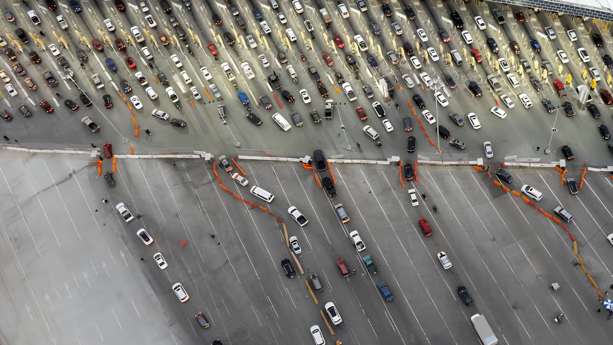
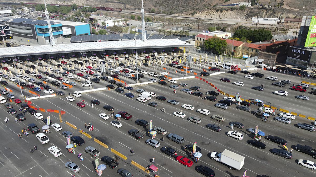
In San Ysidro, transportation and commercial activity are important subjects for historical investigation because of the community’s location near the international border. Researchers can examine planning documents, road construction records, transportation studies, and public infrastructure projects to understand how connectivity and development patterns evolved.
The presence of a transportation facility or commercial centre does not, by itself, establish its environmental impact. Researchers should look for environmental assessments, drainage plans, traffic studies, and other technical documents that identify the effects considered during project planning.
Development records can also reveal how public authorities addressed issues such as pedestrian access, street design, public space, and infrastructure capacity. Comparing proposed projects with completed work may show how plans changed during approval and construction.
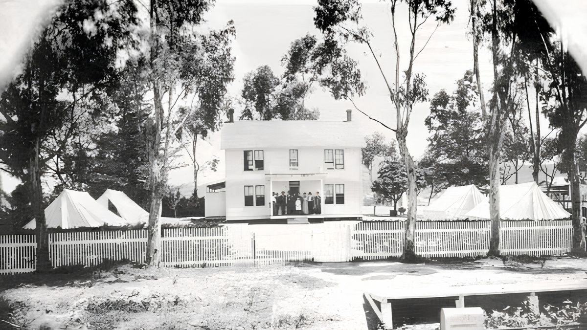
Building permits and planning applications can help establish when individual properties or larger development areas changed. Historical aerial photographs provide another useful source, particularly when they are dated and have sufficient detail to identify changes in buildings, vegetation, and road layouts.
The strongest analysis combines several types of evidence rather than relying on one document or photograph.
Archives
Environmental history research depends on identifying records that are both reliable and relevant to the question being investigated.
Several types of records are particularly useful:
| Record type | What it can reveal |
|---|---|
| Historical maps | Earlier roads, settlement patterns, land boundaries, and physical features |
| Aerial photographs | Changes in buildings, vegetation, open space, and developed land |
| Land use plans | Intended development patterns and planning priorities |
| Water management reports | Drainage systems, water resources, and infrastructure projects |
| Environmental assessments | Potential effects of proposed developments and mitigation measures |
| Building and permit records | Construction dates, property changes, and project approvals |
| Historical photographs and newspapers | Community experiences, public concerns, and descriptions of local change |
The San Diego Public Library’s local history collections and the San Diego History Center may offer useful historical photographs, maps, publications, and related materials. Researchers should check current catalogue descriptions and access conditions before planning an archive visit.
Official planning departments and public agencies can also hold project documents that are not immediately available through general search results. When requesting records, it helps to provide a location, approximate date range, project name, or document type.
Researchers should record the title, publication date, issuing agency, and archive location for each source. This makes it easier to verify findings and allows other people to follow the research process.
Methods
A structured approach makes environmental history research more accurate and manageable.
Begin with a focused question. Instead of trying to document every environmental change in San Ysidro, investigate a specific topic, such as the development of one commercial corridor, changes in drainage infrastructure, or the transformation of a particular parcel.
Next, establish a timeline using maps, photographs, and planning records. Identify the dates when the landscape visibly changed, then search for documents explaining the decisions behind those changes.
Create a simple comparison table to organise the evidence. Include the date, location, source, observed change, and any uncertainties. This helps separate direct observations from interpretations.
For example, an aerial photograph may show that a previously open parcel contained buildings by a later date. A building permit or planning approval may help establish when construction was authorised. Additional records may be needed to determine the parcel’s earlier use or the reasons for its development.
Geographic information system (GIS) tools can make this process more detailed. Historical maps and modern spatial data can be compared when they have suitable geographic information and compatible scales. However, old maps may contain positional errors, incomplete boundaries, or inconsistent place names.
Researchers should also consider the difference between a proposal and a completed project. An approved plan does not always mean that construction occurred exactly as originally described.
Challenges
Historical environmental research often involves gaps in the record. Some maps may be missing, photographs may lack precise dates, and agency responsibilities may have changed over time.
Cross-border environmental issues can add another layer of complexity. Water, pollution, and development patterns may be influenced by activities on both sides of the international border. Records may be held by different authorities, use different measurement systems, or cover different geographic areas.
Terminology can also change. A historical document may describe a location or land use differently from a current planning database. Researchers should verify place names and boundaries before comparing records.
Another important challenge is distinguishing correlation from causation. If vegetation declined during a period of urban growth, that observation does not automatically establish the cause of the decline. Additional evidence may be needed to identify whether development, drought, land management, or other factors contributed.
A balanced investigation acknowledges these uncertainties rather than forcing every record into a single explanation.
Findings
Once records have been collected and compared, researchers can develop a narrative of environmental change. A useful account connects documented changes in land use, water management, and infrastructure with the decisions and conditions that shaped them.
For example, a study might establish when a particular area became more developed, identify the planning documents associated with that change, and examine whether related drainage improvements were proposed or completed. It could then compare those records with available water management information.
The conclusions should reflect the strength of the evidence. Where records clearly document a construction date or planning decision, the account can state that finding directly. Where evidence is incomplete, the conclusion should identify the uncertainty.
Residents may also contribute valuable information through family photographs, personal recollections, and community archives. These sources can provide context that official documents omit, although dates, locations, and factual claims should be checked whenever possible.
Investigating San Ysidro’s environmental history through land use changes, water resources, and urban development records offers a way to understand how the community’s landscape has evolved. Historical maps reveal physical transformations, water records help explain the management of a connected watershed, and planning documents show how development decisions were made.
By combining official records with historical photographs, community knowledge, and careful comparisons, researchers can build a more reliable account of local environmental change. This work provides useful context for understanding present-day planning questions and supports informed discussion about the future of San Ysidro.
FAQs
How can I research San Ysidro’s environmental history?
Compare historical maps, aerial photographs, planning documents, and water records.
Where can I find San Ysidro land use records?
Start with City of San Diego planning resources and relevant public archives.
Why are historical water records important?
They help explain changes in drainage, water management, and watershed conditions.
What do historical aerial photographs reveal?
They can show changes in buildings, vegetation, roads, and open space.
Can community memories support environmental research?
Yes. Personal accounts add context but should be checked against available records.