A community plan can sound like a document written only for planners, developers, and government officials. In practice, it can help residents understand how San Ysidro is expected to grow, where different types of development may occur, how transportation and public spaces fit into the neighborhood, and what long-term priorities have been identified.
For San Ysidro residents, learning how to read the community plan does not require becoming a planning expert. The most useful starting point is to understand what the plan is, what it covers, how it relates to zoning and development decisions, and where residents can find official information when a project affects their neighborhood.
Basics
A community plan is a long-range planning document that provides guidance for a specific area within the City of San Diego. It considers land use, transportation, housing, parks, public facilities, urban design, and other elements that influence how a neighborhood develops.
San Ysidro’s plan should be viewed alongside the City’s broader General Plan. The community plan provides more detailed local guidance while fitting into the city’s overall planning framework.
The City of San Diego’s San Ysidro community profile is a useful official starting point for residents who want to learn more about the neighborhood and its planning context.
Purpose
The purpose of a community plan is not to predict exactly what every street will look like years from now. Instead, it establishes a framework for making land-use and development decisions.
Think of it as a roadmap rather than a construction schedule. A roadmap identifies destinations, connections, and preferred routes, but individual trips can still change.
That distinction matters. A plan can identify a long-term goal without guaranteeing that a particular building, business, road, or park will be constructed.
Landuse
Land use is one of the most important subjects in a community plan. It describes how different areas are intended to function, such as residential, commercial, industrial, institutional, or mixed-use areas.
For residents, land-use information can help explain why certain types of development are considered appropriate in particular locations.
If you are interested in a property or proposed project, look at the official planning information for that specific location. General statements about the neighborhood do not necessarily tell you what can happen on an individual parcel.
Zoning
Community plans and zoning are related, but they are not the same thing.
A community plan provides policy direction, while zoning establishes specific development regulations. Zoning can address matters such as permitted uses, building requirements, setbacks, density, and other development standards.
This is why a resident should not assume that a community plan alone determines whether a particular project can be built.
When evaluating a proposed development, check both the applicable zoning information and the relevant community plan policies.
Housing
Housing is an important part of neighborhood planning. Community planning can address where residential growth should occur and how housing can relate to transportation, services, commercial areas, and public facilities.
For residents, housing discussions can involve several different questions. How much housing is planned? What types of housing are appropriate? Where should new homes be located? How can growth be connected to existing infrastructure?
These questions often involve broader city and state requirements as well as local planning policies.
Transportation
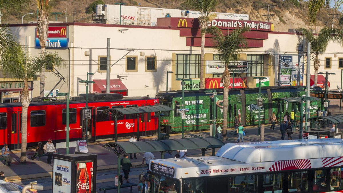
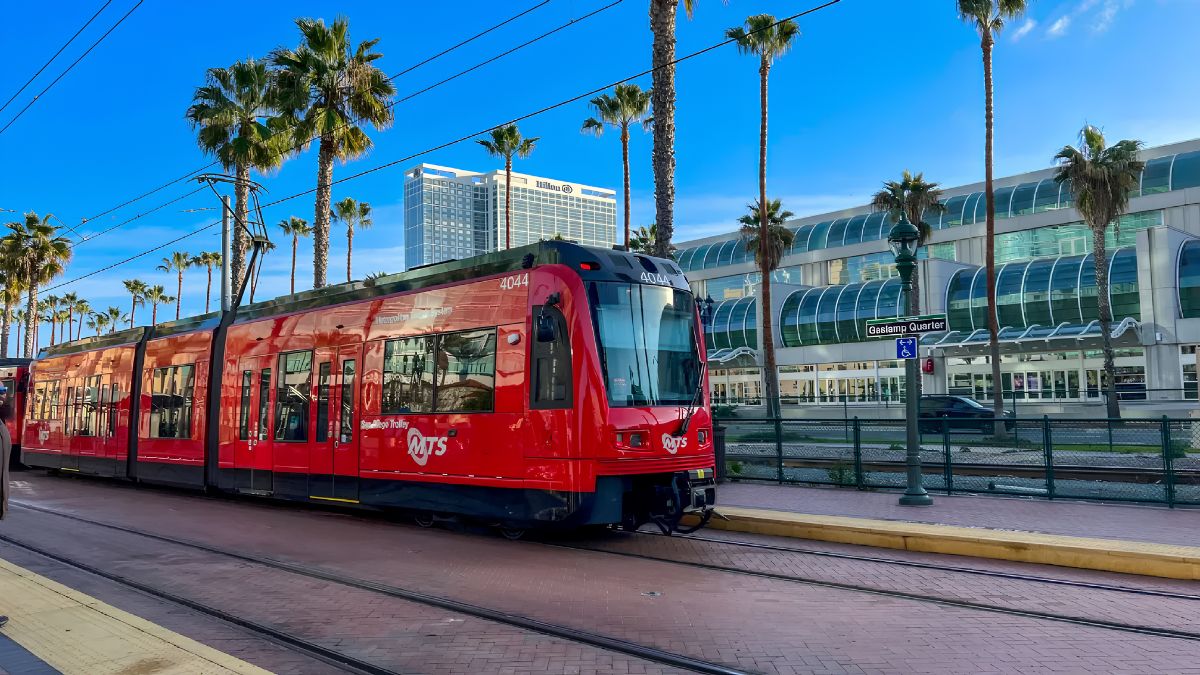
Transportation planning considers how people move through the neighborhood. That can include automobiles, public transportation, walking, bicycling, and connections between different parts of the community.
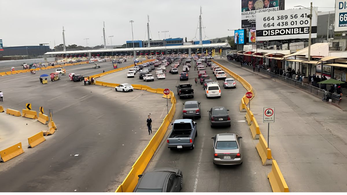
San Ysidro’s location near the international border makes transportation particularly significant. Local streets and transit connections operate alongside infrastructure associated with international travel.
The San Diego Metropolitan Transit System provides official information about transit routes, schedules, fares, and service changes that can help residents understand existing transportation connections.
When reading transportation proposals, residents should look at more than vehicle traffic. Pedestrian access, bicycle facilities, transit connections, crossings, and neighborhood connectivity can also affect everyday life.
Parks
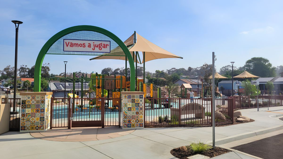
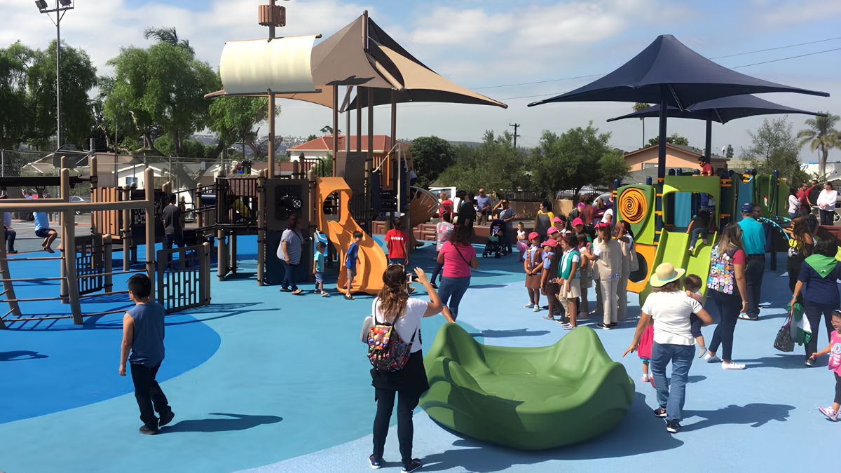
Parks and recreational spaces contribute to a neighborhood’s quality of life. Community planning can identify existing facilities and long-term needs for public spaces.
For residents, a useful question is not simply whether a park exists but whether public spaces are conveniently located and connected to the people who use them.
New development can also create questions about parks and recreational demand. Residents should review the relevant planning documents when a proposal could change the neighborhood’s population or public-space needs.
Design
Urban design is another part of community planning. It considers how buildings, streets, sidewalks, public spaces, and other physical elements work together.
Design policies can address the relationship between buildings and streets, pedestrian environments, public spaces, landscaping, and neighborhood character.
This may sound technical, but the effects can be visible in everyday life. The width of a sidewalk, location of a building entrance, amount of shade, or relationship between storefronts and a street can influence how comfortable an area feels.
Businesses
Commercial areas are important to San Ysidro’s local economy. Planning policies can help determine where commercial activity is appropriate and how businesses relate to nearby homes and transportation.
For residents, this can affect access to restaurants, shops, services, offices, and other everyday destinations.
The community plan can also help provide context when a new commercial project is proposed. It allows residents to compare an individual proposal with broader neighborhood planning goals.
Border
San Ysidro’s position next to Mexico makes the border an important consideration in understanding the community.
Border-related transportation and infrastructure can affect traffic patterns, pedestrian movement, economic activity, and land use.
At the same time, the community plan addresses San Ysidro as a neighborhood where people live and work. Residents should therefore consider both the international role of the area and its local needs.
The two perspectives are connected but should not be treated as identical.
Projects
When a new project is proposed, residents often want to know whether it follows the community plan. That is a reasonable question, but answering it requires looking at the project’s specific documents.
Start with the address and project number if one is available. Then identify the property’s zoning and the relevant community plan policies.
The San Diego Planning Department provides official information about planning, development, land use, and related city processes.
Reviewing the staff report can be particularly helpful because it may explain how city staff evaluated the proposal against applicable policies and regulations.
Meetings
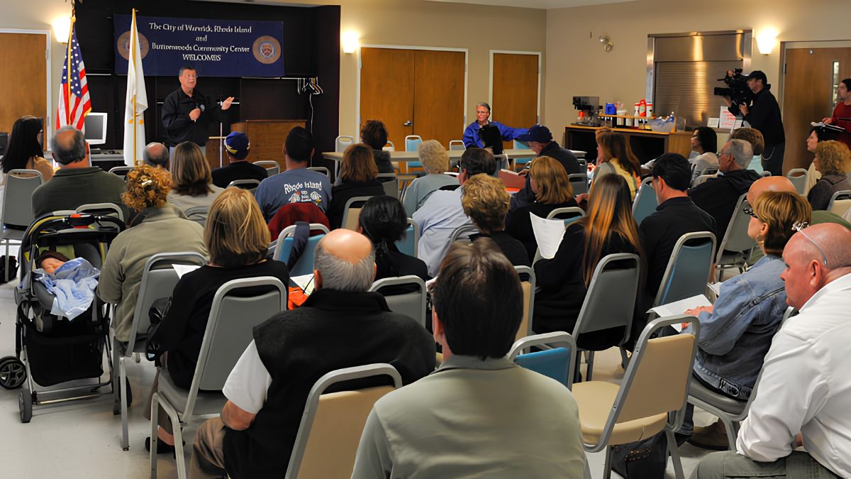
Public meetings can provide residents with opportunities to learn about projects and express their views.
Depending on the issue, a proposal could be discussed by a planning body, commission, advisory group, or the City Council. Not every project follows exactly the same path.
Residents should therefore check the official agenda rather than assuming which body will make a decision.
Reading the agenda before attending can save time. Look for the project address, proposed action, staff recommendation, supporting documents, and instructions for public comment.
Comments
Public participation is most effective when comments are specific and connected to the decision being considered.
A resident might raise concerns about traffic, pedestrian safety, neighborhood compatibility, public services, housing, noise, or another issue. The strongest comments generally explain the local concern and connect it to the proposal or applicable planning policy.
Residents should also check the meeting’s official instructions. Public comment procedures, time limits, and submission deadlines can vary.
Updates
Community planning is not static. Amendments, policy changes, development proposals, infrastructure projects, and new regulations can affect how planning policies are applied.
This means residents should avoid relying on an old summary when making decisions about a current project.
Official City documents are the best source for determining the current status of a plan or proposal. If a document has been superseded, the newer version should be used.
Reading
Planning documents can be long, but residents do not always need to read every page.
Begin with the sections connected to your question. If you are concerned about a proposed building, start with land use, zoning, urban design, transportation, and the project’s staff report.
If your concern is a park, focus on recreational facilities, open space, access, and related policies.
Maps are particularly important. A written policy may be difficult to understand until you see which streets and parcels it applies to.
Residents
A community plan is most useful when residents treat it as a reference rather than a document that sits unused on a government website.
It can help people ask better questions. Before a public meeting, residents can use the plan to understand the broader policy context. Before commenting on a project, they can identify the policies that appear most relevant.
The document does not eliminate disagreement. Planning involves competing priorities, and reasonable residents can reach different conclusions about how a neighborhood should develop.
Resources
Residents looking for official information should begin with government sources rather than relying on summaries posted elsewhere.
The City of San Diego Planning Department is the main resource for local planning information. The community profile provides neighborhood context, while individual project pages and planning documents can provide more detailed information about specific proposals.
For transportation questions, MTS provides current transit information. For historical context, organizations such as the San Diego History Center can provide background that helps explain how the community developed.
Using several official sources can provide a more complete picture than relying on one document.
Practical
A simple process can make the community plan easier to use:
- Identify the property, street, or issue you are interested in.
- Find the applicable community plan information.
- Check the property’s current zoning.
- Look for related development or planning applications.
- Read staff reports and supporting documents.
- Check upcoming public meetings.
- Note public comment deadlines.
- Follow the decision after the meeting.
This approach turns a large planning document into a practical research tool.
San Ysidro’s community plan is best understood as a framework for the neighborhood’s long-term development, not as a guarantee of exactly what will happen on every street. Residents can use it to understand land use, housing, transportation, parks, businesses, urban design, and the relationship between individual projects and broader community goals.
By combining the plan with current zoning information, project documents, public meeting agendas, and official City resources, residents can make better-informed decisions about changes affecting their neighborhood.
FAQs
What is the San Ysidro community plan?
It guides long-term land use and neighborhood development.
Is a community plan the same as zoning?
No, zoning provides specific development regulations.
Where can residents read the plan?
Check the City of San Diego Planning Department website.
Can residents comment on projects?
Yes, public processes often provide comment opportunities.
Does the plan guarantee future projects?
No, it provides policy guidance for future decisions.